Free Trade Zone · Serbia

ō abac Free Zone Active
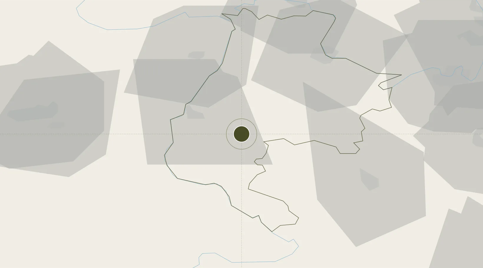
44.4635°, 19.4007°
292 ha
Zone area
222.9 km
Nearest port
53.7 km
Nearest airport

Gateway access

Nearest neighbours — logibook spatial index (haversine) over the source coordinates

Zone profile

Zone type
Free Trade Zone
Open Zone Map
Region
Macvanski
Open Zone Map
Status
Active
Open Zone Map
Management
Public-Private Partnership
Open Zone Map
Operator
Slobodna Zona ō abac D.O.O.
Open Zone Map
Legal framework
Free Zone Law 62/2006
Open Zone Map

Location

Location of ozm-4124
Natural Earth 10m (public domain) · Macvanski · ozm-4124 · 44.46, 19.40GoogleOSMYandex

Nearby Logistics Neighbours

Ports
  1. 1Ploce223 km
  2. 2Risan224 km
  3. 3Neum225 km
  4. 4Dubrovnik226 km
  5. 5Tivat233 km
Nearest neighbours — logibook spatial index (haversine) over the source coordinates
Airports
  1. 1Tuzla International Airport54 km
  2. 2Ponikve Airport67 km
  3. 3Belgrade Nikola Tesla Airport82 km
  4. 4Batajnica Air Base86 km
  5. 5Sarajevo International Airport111 km
Nearest neighbours — logibook spatial index (haversine) over the source coordinates
Cities
  1. 1Loznica17 km
  2. 2Zvornik26 km
  3. 3Mali Zvornik26 km
  4. 4Bijeljina36 km
  5. 5Sabac39 km
Nearest neighbours — logibook spatial index (haversine) over the source coordinates
Trade Zones
  1. 1Free Zone Holc, Lukavac71 km
  2. 2Uō¾ice Free Zone80 km
  3. 3Priboj Free Zone94 km
  4. 4Beograd Free Zone95 km
  5. 5Novi Sad Free Zone96 km
Nearest neighbours — logibook spatial index (haversine) over the source coordinates
DatabookThe Record of Consolidated Knowledge
Serbia beyond logistics?
Browse databook

All Sources

Trade ZonesOpen Zone Map
CC BY
Portsthe NGA World Port Index
Public domain (US gov)
AirportsOurAirports
Public domain
LocationsUN/LOCODE
UN/LOCODE — free
← Serbia trade zones