UN/LOCODE hub · Bosnia & Herzegovina
BAKJC

Konjic

43.6167°, 17.9667°
15,950
Population
2
Transport functions

Transport Functions

Rail
Road
UN/LOCODE

Hub Profile

Place type
District seat
GeoNames
Region
Federation of B&H
GeoNames
Population
15,950
GeoNames
Time zone
Europe/Sarajevo
GeoNames
Elevation
286 m
GeoNames

Location

Location of BAKJC
Natural Earth 10m (public domain) · Federation of B&H · BAKJC · 43.62, 17.97GoogleOSMYandex

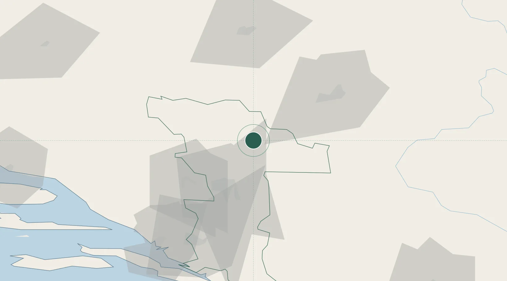
Nearby Logistics Neighbours

Cities
  1. 1Jablanica18 km
  2. 2Citluk22 km
  3. 3Fojnica37 km
  4. 4Rajlovac39 km
  5. 5Vogosca44 km
Nearest neighbours — logibook spatial index (haversine) over the source coordinates
Ports
  1. 1Ploce76 km
  2. 2Neum83 km
  3. 3Korcula102 km
  4. 4Dubrovnik106 km
  5. 5Dugi Rat108 km
Nearest neighbours — logibook spatial index (haversine) over the source coordinates
Airports
  1. 1Sarajevo International Airport37 km
  2. 2Mostar International Airport38 km
  3. 3Brač Airport110 km
  4. 4Tuzla International Airport112 km
  5. 5Dubrovnik Ruđer Bošković Airport120 km
Nearest neighbours — logibook spatial index (haversine) over the source coordinates
Trade Zones
  1. 1Free Zone Hercegovina37 km
  2. 2Free Zone Vogošća45 km
  3. 3Free Zone Visoko46 km
  4. 4Port of Ploče Free Zone77 km
  5. 5Free Zone Holc, Lukavac112 km
Nearest neighbours — logibook spatial index (haversine) over the source coordinates
DatabookThe Record of Consolidated Knowledge
Bosnia & Herzegovina beyond logistics?
Browse databook

All Sources

LocationsUN/LOCODE
UN/LOCODE — free
LocationsGeoNames
CC BY 4.0
Portsthe NGA World Port Index
Public domain (US gov)
AirportsOurAirports
Public domain
Trade Zonesthe World Bank SEZ database
CC BY 4.0
Trade ZonesOpen Zone Map
CC BY
← Bosnia & Herzegovina locations