Export Processing Zone · Bosnia & Herzegovina

Free Zone Holc, Lukavac Active
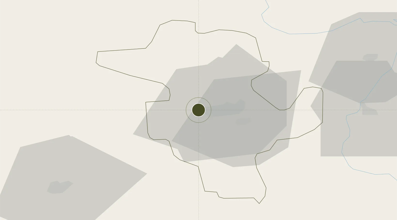
44.5419°, 18.5087°
9 ha
Zone area
187.0 km
Nearest port
19.3 km
Nearest airport

Gateway access

Nearest neighbours — logibook spatial index (haversine) over the source coordinates

Zone profile

Zone type
Export Processing Zone
Open Zone Map
Region
Tuzla
Open Zone Map
Status
Active
Open Zone Map
Management
Private
Open Zone Map
Operator
Slobodna Zona Holc D.O.O. Lukavac
Open Zone Map
Legal framework
Law on Free Zones; Official Gazette of the Federation of BiH 2/95, 37/04, 43/04
Open Zone Map

Location

Location of ozm-198
Natural Earth 10m (public domain) · Tuzla · ozm-198 · 44.54, 18.51GoogleOSMYandex

Nearby Logistics Neighbours

Ports
  1. 1Ploce187 km
  2. 2Dugi Rat192 km
  3. 3Neum195 km
  4. 4Split202 km
  5. 5Korcula210 km
Nearest neighbours — logibook spatial index (haversine) over the source coordinates
Airports
  1. 1Tuzla International Airport19 km
  2. 2Sarajevo International Airport81 km
  3. 3Osijek Airport105 km
  4. 4Banja Luka International Airport106 km
  5. 5Ponikve Airport119 km
Nearest neighbours — logibook spatial index (haversine) over the source coordinates
Cities
  1. 1Tuzla13 km
  2. 2Maglaj34 km
  3. 3Matuzici40 km
  4. 4Brcko43 km
  5. 5Modrica49 km
Nearest neighbours — logibook spatial index (haversine) over the source coordinates
Trade Zones
  1. 1Free Zone Visoko66 km
  2. 2ō abac Free Zone71 km
  3. 3Free Zone Vogošća72 km
  4. 4Duro Daković Free Zone80 km
  5. 5Osijek Free Zone87 km
Nearest neighbours — logibook spatial index (haversine) over the source coordinates
DatabookThe Record of Consolidated Knowledge
Bosnia & Herzegovina beyond logistics?
Browse databook

All Sources

Trade ZonesOpen Zone Map
CC BY
Portsthe NGA World Port Index
Public domain (US gov)
AirportsOurAirports
Public domain
LocationsUN/LOCODE
UN/LOCODE — free
← Bosnia & Herzegovina trade zones