Large airport · Bosnia & Herzegovina

Mostar International AirportLQMO
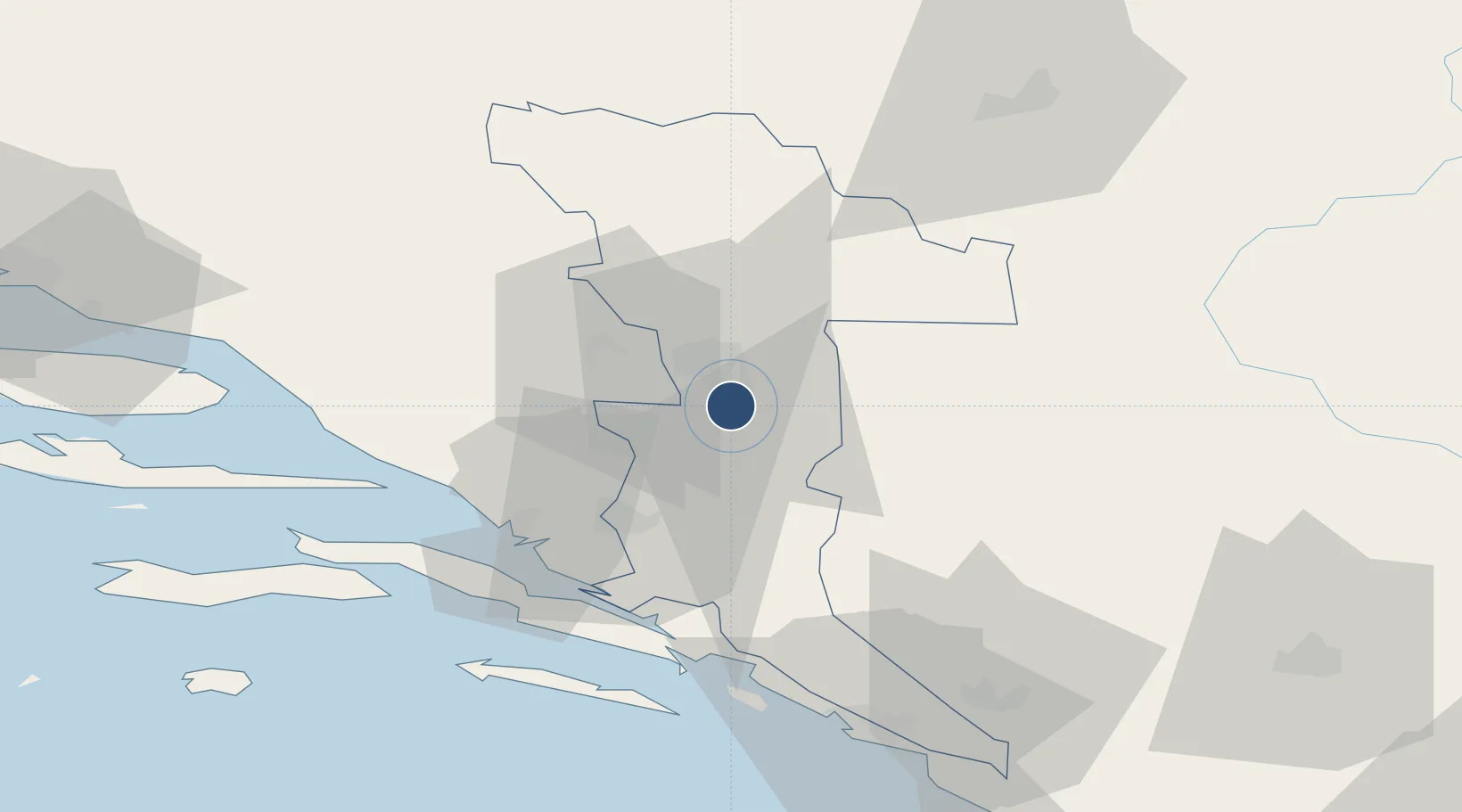
43.2825°, 17.8461°
7,874 ft
Longest runway
1
Runways
156 ft
Elevation

Runway & Layout

Mostar International Airport runway & taxiway layout
Runway & taxiway layout — OpenStreetMap (ODbL) / OurAirports

Radio Frequencies

TWR
124.2 MHz
APP
122.7 MHz
OurAirports

Navaids

DNC NDB Mostar 425 kHz
MSR VOR-DME Mostar 116.90 MHz
OTJ TACAN Mostar 114.90 MHz
OurAirports

Runways · 1

RunwayDimensions SurfaceTrue headingLit
15/33 7,874 × 158ft Asphalt 158°
OurAirports

Airport Specifications

IATA code
OMO
OurAirports
ICAO code
LQMO
OurAirports
Airport class
Large airport
OurAirports
Scheduled service
Yes
OurAirports
Runway surface
Asphalt
OurAirports
Served city
Mostar
OurAirports

Location

Location of LQMO
Natural Earth 10m (public domain) · Herzegovina-Neretva · LQMO · 43.28, 17.85GoogleOSMYandex

Nearby Logistics Neighbours

Airports
  1. 1Sarajevo International Airport72 km
  2. 2Dubrovnik Ruđer Bošković Airport87 km
  3. 3Brač Airport95 km
  4. 4Tivat Airport121 km
  5. 5Split Saint Jerome Airport128 km
Nearest neighbours — logibook spatial index (haversine) over the source coordinates
Cities
  1. 1Citluk28 km
  2. 2Metkovic31 km
  3. 3Konjic38 km
  4. 4Rogotin41 km
  5. 5Jablanica42 km
Nearest neighbours — logibook spatial index (haversine) over the source coordinates
Ports
  1. 1Ploce42 km
  2. 2Neum45 km
  3. 3Korcula70 km
  4. 4Dubrovnik71 km
  5. 5Dugi Rat99 km
Nearest neighbours — logibook spatial index (haversine) over the source coordinates
Trade Zones
  1. 1Free Zone Hercegovina5 km
  2. 2Port of Ploče Free Zone43 km
  3. 3Free Zone Vogošća80 km
  4. 4Free Zone Visoko84 km
  5. 5Split-Dalmatia Free Zone115 km
Nearest neighbours — logibook spatial index (haversine) over the source coordinates
DatabookThe Record of Consolidated Knowledge
Bosnia & Herzegovina beyond logistics?
Browse databook

All Sources

AirportsOurAirports
Public domain
Portsthe NGA World Port Index
Public domain (US gov)
LocationsUN/LOCODE
UN/LOCODE — free
Trade Zonesthe World Bank SEZ database
CC BY 4.0
Trade ZonesOpen Zone Map
CC BY
InfrastructureOpenStreetMap
ODbL 1.0
← Bosnia & Herzegovina airports