Large airport · Bosnia & Herzegovina
Tuzla International AirportLQTZ
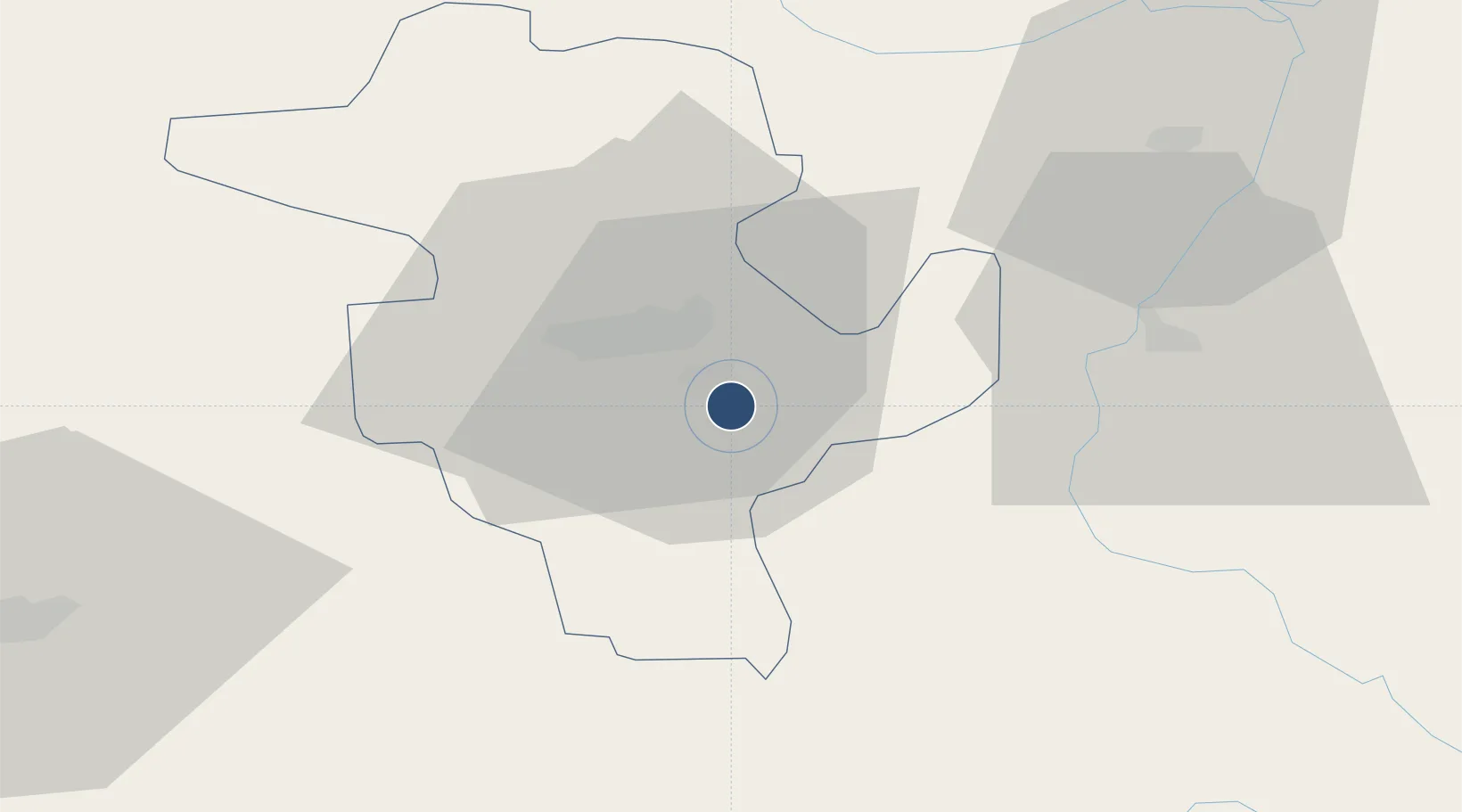
44.4599°, 18.7236°
8,152 ft
Longest runway
1
Runways
784 ft
Elevation
Runway & Layout

Radio Frequencies
ATIS
140.325 MHz
TWR
130.85 MHz
APP
125.8 MHz
APP/DEP
GCCD
143.425 MHz
GND/CLNC DEL
OPS
142.525 MHz
AFLD OPS
PMSV
25.892 MHz
PMSV METRO
Navaids
TU NDB Tuzla 445 kHz
TUZ TACAN Tuzla 109.70 MHz
Runways · 1
| Runway | Dimensions | Surface | True heading | Lit |
|---|---|---|---|---|
| 09/27 | 8,152 × 148ft | Asphalt | 096° | ✓ |
Airport Specifications
IATA code
TZL
ICAO code
LQTZ
Airport class
Large airport
Scheduled service
Yes
Runway surface
Asphalt
Served city
Dubrave Gornje
Location
Nearby Logistics Neighbours
Airports
- 1Sarajevo International Airport77 km
- 2Ponikve Airport100 km
- 3Osijek Airport112 km
- 4Banja Luka International Airport125 km
- 5Belgrade Nikola Tesla Airport132 km
Cities
- 1Tuzla9 km
- 2Zvornik31 km
- 3Mali Zvornik31 km
- 4Loznica40 km
- 5Brcko46 km
Trade Zones
- 1Free Zone Holc, Lukavac19 km
- 2ō abac Free Zone54 km
- 3Free Zone Visoko68 km
- 4Free Zone Vogošća69 km
- 5Duro Daković Free Zone97 km
DatabookThe Record of Consolidated Knowledge
Bosnia & Herzegovina beyond logistics?