Medium airport · Serbia
Ponikve AirportLYUZ
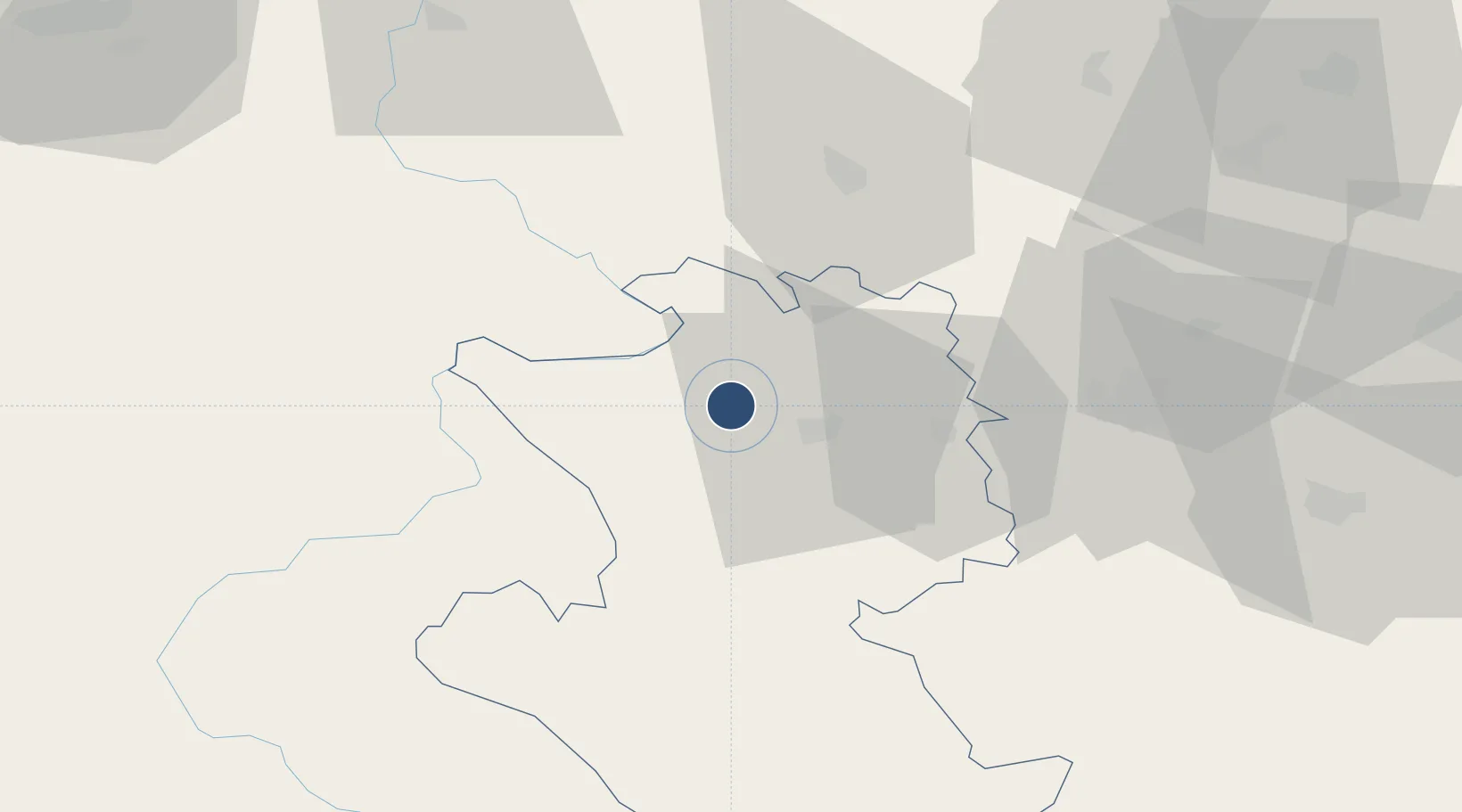
43.8989°, 19.6977°
10,130 ft
Longest runway
1
Runways
2,966 ft
Elevation
Runway & Layout

Runways · 1
| Runway | Dimensions | Surface | True heading | Lit |
|---|---|---|---|---|
| 11/29 | 10,130 × 148ft | Asphalt | 107° | — |
Airport Specifications
IATA code
UZC
ICAO code
LYUZ
Airport class
Medium airport
Scheduled service
No
Runway surface
Asphalt
Served city
Stapari
Location
Nearby Logistics Neighbours
Airports
- 1Morava Airport72 km
- 2Tuzla International Airport100 km
- 3Sarajevo International Airport110 km
- 4Belgrade Nikola Tesla Airport113 km
- 5Batajnica Air Base124 km
Trade Zones
- 1Uō¾ice Free Zone17 km
- 2Priboj Free Zone35 km
- 3ō abac Free Zone67 km
- 4FAS Free Zone Kragujevac97 km
- 5Free Zone Vogošća107 km
DatabookThe Record of Consolidated Knowledge
Serbia beyond logistics?