Transport Functions
Rail
Road
Postal
Hub Profile
Place type
Populated place
Region
Federation of B&H
Time zone
Europe/Sarajevo
Elevation
563 m
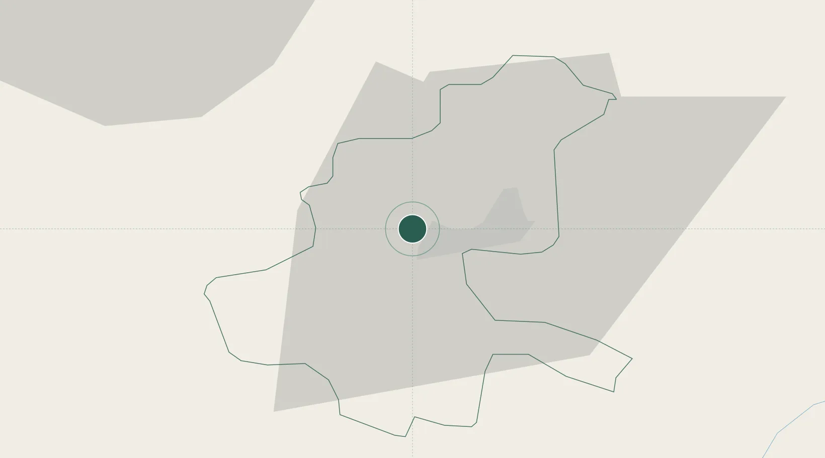
Location
Nearby Logistics Neighbours
Airports
Trade Zones
- 1Free Zone Vogošća6 km
- 2Free Zone Visoko19 km
- 3Free Zone Hercegovina74 km
- 4Free Zone Holc, Lukavac77 km
- 5Priboj Free Zone100 km
DatabookThe Record of Consolidated Knowledge
Bosnia & Herzegovina beyond logistics?