NeumBANEM

42.9167°, 17.6000°
Neum is also a UN/LOCODE logistics hub →

Channel & Berth Profile

NGA World Port Index

Pilotage, Tugs & Services

Pilotage compulsoryYES
Pilotage availableYES
NGA World Port Index

Facilities & Capabilities

Container
Ro-Ro
Liquid bulk
Dry bulk
Oil terminal
Break bulk
Dry dock
Repairs
Bunkering
Rail link
Dangerous cargo
ISPS security
NGA World Port Index

Harbour Specifications
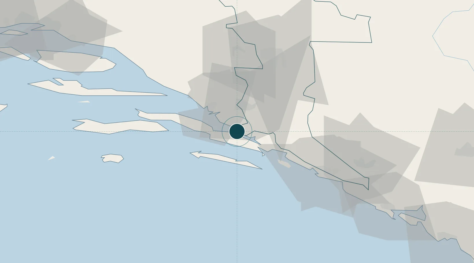
Harbour size
Small
NGA World Port Index
Water body
Adriatic Sea; Mediterranean Sea; North Atlantic Ocean
NGA World Port Index
Pilotage
Yes
NGA World Port Index

Location

Location of BANEM
Natural Earth 10m (public domain) · Herzegovina-Neretva · BANEM · 42.92, 17.60GoogleOSMYandex

Nearby Logistics Neighbours

Ports
  1. 1Ploce20 km
  2. 2Korcula38 km
  3. 3Dubrovnik48 km
  4. 4Dugi Rat97 km
  5. 5Risan100 km
Nearest neighbours — logibook spatial index (haversine) over the source coordinates
Cities
  1. 1Ploce4 km
  2. 2Klek5 km
  3. 3Ston12 km
  4. 4Prapratno13 km
  5. 5Blace15 km
Nearest neighbours — logibook spatial index (haversine) over the source coordinates
Airports
  1. 1Mostar International Airport45 km
  2. 2Dubrovnik Ruđer Bošković Airport67 km
  3. 3Brač Airport85 km
  4. 4Tivat Airport108 km
  5. 5Sarajevo International Airport117 km
Nearest neighbours — logibook spatial index (haversine) over the source coordinates
Trade Zones
  1. 1Port of Ploče Free Zone20 km
  2. 2Free Zone Hercegovina47 km
  3. 3Port of Kotor Free Zone110 km
  4. 4Split-Dalmatia Free Zone114 km
  5. 5Port of Split Free Zone116 km
Nearest neighbours — logibook spatial index (haversine) over the source coordinates
DatabookThe Record of Consolidated Knowledge
Bosnia & Herzegovina beyond logistics?
Browse databook

All Sources

Portsthe NGA World Port Index
Public domain (US gov)
AirportsOurAirports
Public domain
LocationsUN/LOCODE
UN/LOCODE — free
Trade Zonesthe World Bank SEZ database
CC BY 4.0
Trade ZonesOpen Zone Map
CC BY
← Bosnia & Herzegovina ports