Transport Functions
Rail
Road
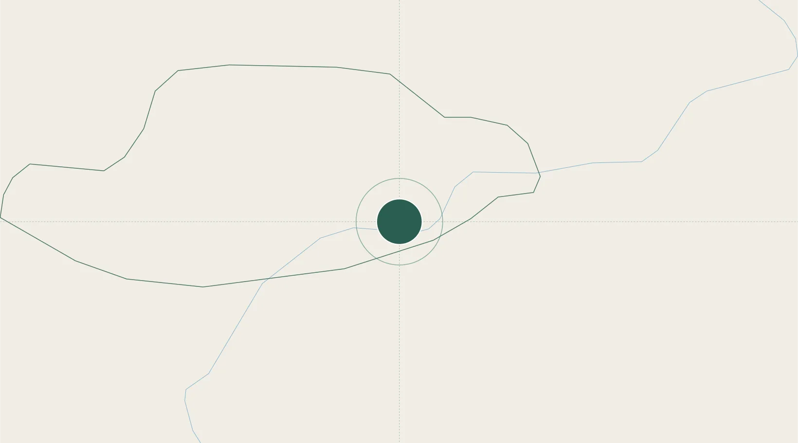
Hub Profile
Place type
Populated place
Region
Federation of B&H
Time zone
Europe/Sarajevo
Elevation
362 m
Location
Nearby Logistics Neighbours
Cities
- 1Vogosca55 km
- 2Rajlovac57 km
- 3Prijepolje63 km
- 4Uzice76 km
- 5Konjic78 km
Airports
Trade Zones
- 1Priboj Free Zone45 km
- 2Free Zone Vogošća55 km
- 3Free Zone Visoko74 km
- 4Uō¾ice Free Zone81 km
- 5Free Zone Hercegovina98 km
DatabookThe Record of Consolidated Knowledge
Bosnia & Herzegovina beyond logistics?