Medium airport · India
Tezpur AirportVETZ
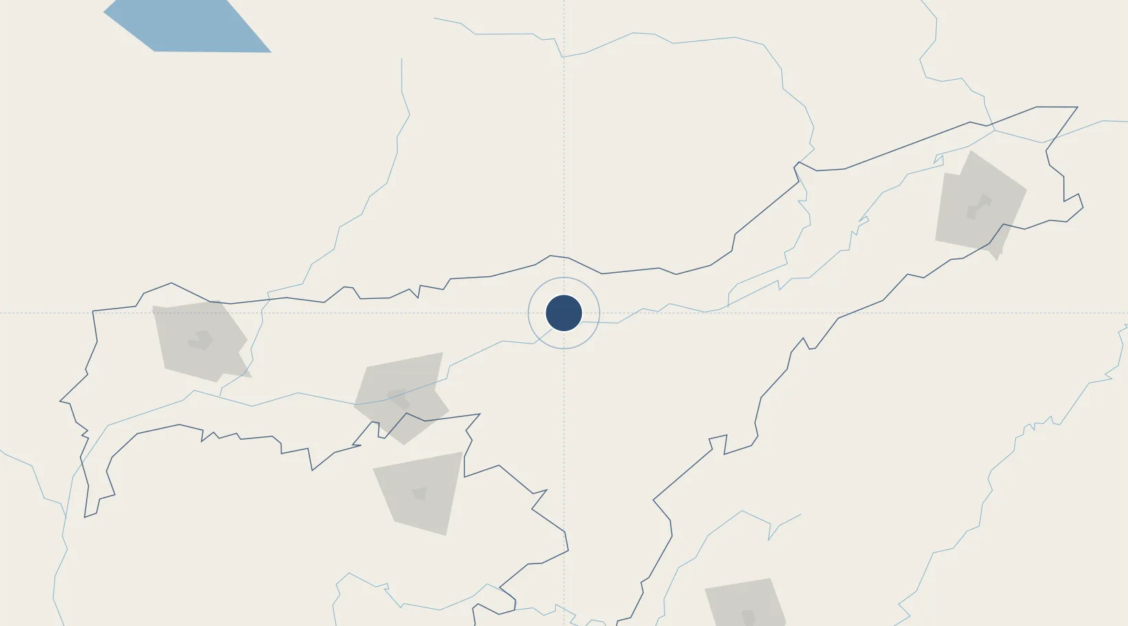
26.7091°, 92.7847°
9,010 ft
Longest runway
1
Runways
240 ft
Elevation
Runway & Layout

Navaids
TEZ VOR-DME Tezpur 117.90 MHz
TZ NDB Tezpur 208 kHz
Runways · 1
| Runway | Dimensions | Surface | True heading | Lit |
|---|---|---|---|---|
| 05/23 | 9,010 × 150ft | Asphalt | 044° | ✓ |
Airport Specifications
IATA code
TEZ
ICAO code
VETZ
Airport class
Medium airport
Scheduled service
Yes
Runway surface
Asphalt
Location
Nearby Logistics Neighbours
Airports
- 1Itanagar Donyi Polo Hollongi Airport90 km
- 2Dimapur Airport135 km
- 3Lokpriya Gopinath Bordoloi International Airport137 km
- 4Shillong Airport138 km
- 5Jorhat Airport138 km
Cities
- 1Jomotshangkha37 km
- 2Amingaon (Gauhati)124 km
- 3Phuntsho Raptenling125 km
- 4Samdrup Jongkhar128 km
- 5Pelzomthang (Nganglam)153 km
Ports
- 1Chittagong498 km
- 2Mongla571 km
- 3Calcutta645 km
- 4Haldia Port706 km
- 5Sittwe731 km
Trade Zones
- 1Motanga Industrial Park129 km
- 2Bondeyma Industrial Park166 km
- 3Sylhet Special Economic Zone223 km
- 4Jigmeling Industrial Park251 km
- 5Shreehatta Srihatta Economic Zone257 km
DatabookThe Record of Consolidated Knowledge
India beyond logistics?