Transport Functions
Road
Multimodal
Hub Profile
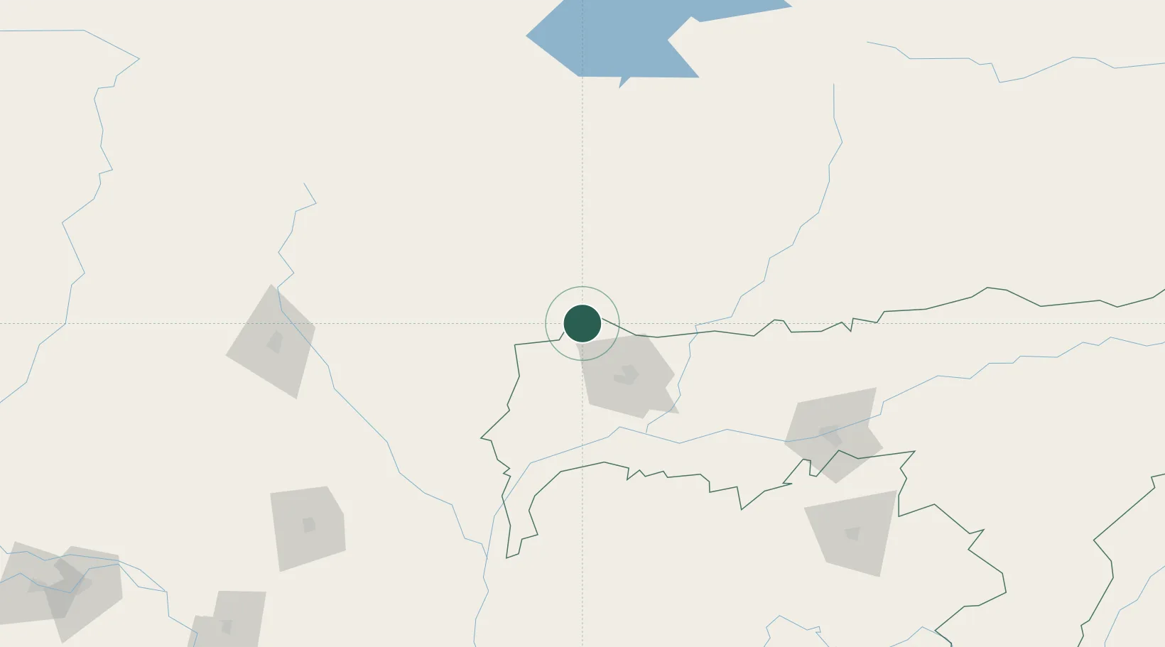
Place type
Regional capital
Region
Sarpang District
Population
10,416
Time zone
Asia/Thimphu
Elevation
344 m
Location
Nearby Logistics Neighbours
Cities
- 1Gelephu22 km
- 2Samtse32 km
- 3Lhamoizingkha46 km
- 4Kamardwisa Lcs79 km
- 5Pasakha84 km
Ports
- 1Mongla492 km
- 2Calcutta517 km
- 3Chittagong528 km
- 4Haldia Port581 km
- 5Dhamra750 km
Airports
- 1Gelephu Airport20 km
- 2Hashimara Air Force Station91 km
- 3Bathpalathang Airport92 km
- 4Paro International Airport104 km
- 5Yongphulla Airport132 km
Trade Zones
- 1Jigmeling Industrial Park2 km
- 2Bondeyma Industrial Park107 km
- 3Dhamdum Industrial Park118 km
- 4Motanga Industrial Park122 km
- 5Kurigram Economic Zone - 1131 km
DatabookThe Record of Consolidated Knowledge
Bhutan beyond logistics?