Economic Revitalization Project · Egypt

El Saf Investment Zone Active
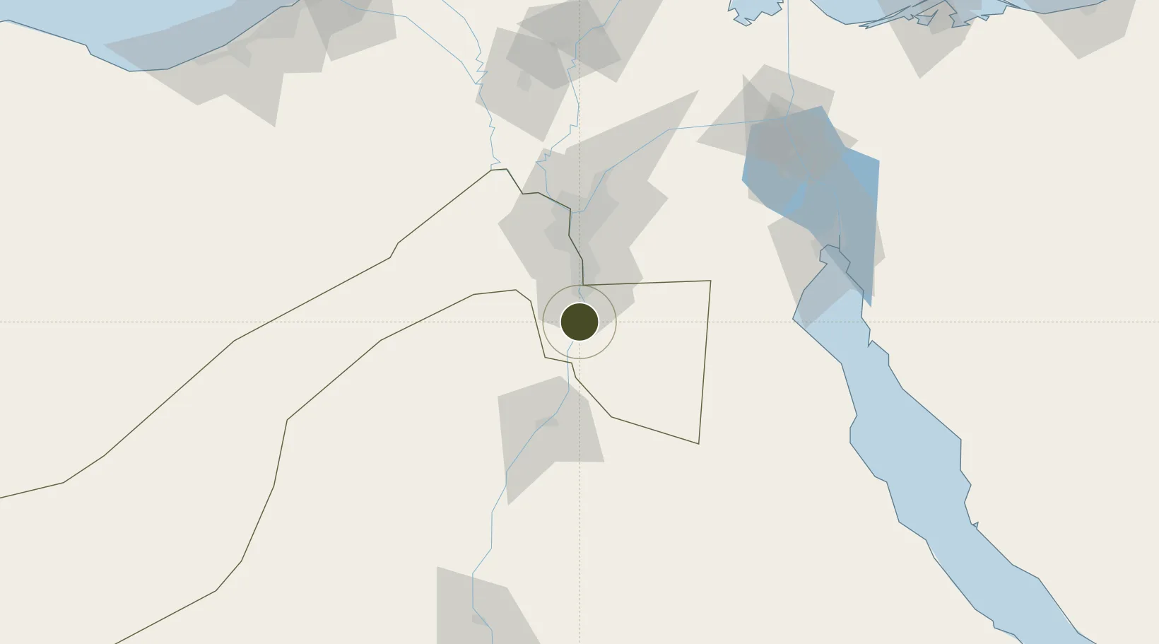
29.5767°, 31.2743°
3 ha
Zone area
105.9 km
Nearest port
48.7 km
Nearest airport

Gateway access

Nearest neighbours — logibook spatial index (haversine) over the source coordinates

Zone profile

Zone type
Economic Revitalization Project
Open Zone Map
Region
Al Jizah
Open Zone Map
Status
Active
Open Zone Map
Management
Public
Open Zone Map
Operator
General Authority for Investment & Free Zones
Open Zone Map
Legal framework
Law No. 83 on Special Economic Zones
Open Zone Map

Location

Location of ozm-1854
Natural Earth 10m (public domain) · Al Jizah · ozm-1854 · 29.58, 31.27GoogleOSMYandex

Nearby Logistics Neighbours

Ports
  1. 1Ain Sukhna Terminal106 km
  2. 2Sokhna Port Gas Tanker Terminal106 km
  3. 3El-Adabiya120 km
  4. 4As Suways131 km
  5. 5Ras Sudr138 km
Nearest neighbours — logibook spatial index (haversine) over the source coordinates
Airports
  1. 1Bani Sweif Air Base49 km
  2. 2Almaza Air Force Base58 km
  3. 3Cairo International Airport61 km
  4. 4Cairo West Air Base69 km
  5. 5Sphinx International Airport70 km
Nearest neighbours — logibook spatial index (haversine) over the source coordinates
Cities
  1. 1Al Minya17 km
  2. 2Al Haram18 km
  3. 3Ain Sukhna40 km
  4. 46th October52 km
  5. 5Sixth of October City54 km
Nearest neighbours — logibook spatial index (haversine) over the source coordinates
Trade Zones
  1. 1Media Public Free Zone50 km
  2. 2Cairo University Investment Zone50 km
  3. 3Nasr City Public Free Zone51 km
  4. 4City Center Almaza Investment Zone57 km
  5. 5Nasr Free Economic Zone57 km
Nearest neighbours — logibook spatial index (haversine) over the source coordinates
DatabookThe Record of Consolidated Knowledge
Egypt beyond logistics?
Browse databook

All Sources

Trade ZonesOpen Zone Map
CC BY
Portsthe NGA World Port Index
Public domain (US gov)
AirportsOurAirports
Public domain
LocationsUN/LOCODE
UN/LOCODE — free
← Egypt trade zones