UN/LOCODE hub · Egypt
EGBEN

Beni Suef

29.0667°, 31.0833°
1
Transport functions

Transport Functions

Multimodal
UN/LOCODE

Location

Location of EGBEN
Natural Earth 10m (public domain) · Bani Suwayf · EGBEN · 29.07, 31.08GoogleOSMYandex

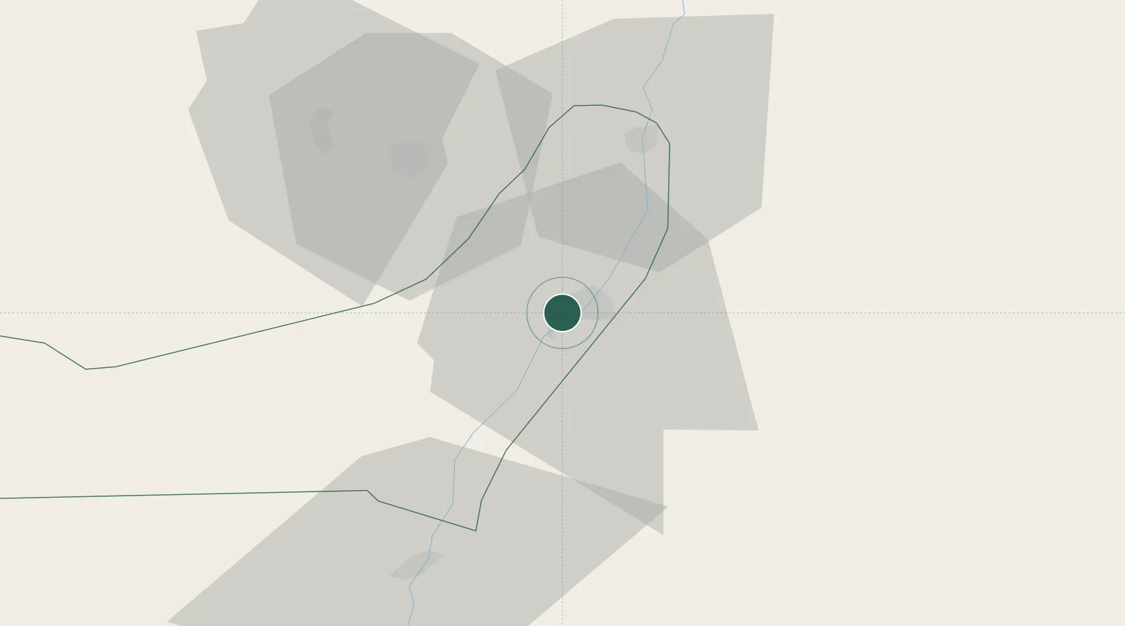
Nearby Logistics Neighbours

Cities
  1. 1Al Haram43 km
  2. 2Al Minya77 km
  3. 3October Dry Port93 km
  4. 4Ain Sukhna95 km
  5. 56th October96 km
Nearest neighbours — logibook spatial index (haversine) over the source coordinates
Ports
  1. 1Ain Sukhna Terminal140 km
  2. 2Sokhna Port Gas Tanker Terminal142 km
  3. 3El-Adabiya161 km
  4. 4Ras Sudr167 km
  5. 5As Suways174 km
Nearest neighbours — logibook spatial index (haversine) over the source coordinates
Airports
  1. 1Bani Sweif Air Base17 km
  2. 2Almaza Air Force Base117 km
  3. 3Sphinx International Airport117 km
  4. 4Cairo West Air Base118 km
  5. 5Cairo International Airport120 km
Nearest neighbours — logibook spatial index (haversine) over the source coordinates
Trade Zones
  1. 1El Saf Investment Zone60 km
  2. 2Media Public Free Zone100 km
  3. 3Cairo University Investment Zone107 km
  4. 4Nasr City Public Free Zone110 km
  5. 5City Center Almaza Investment Zone116 km
Nearest neighbours — logibook spatial index (haversine) over the source coordinates
DatabookThe Record of Consolidated Knowledge
Egypt beyond logistics?
Browse databook

All Sources

LocationsUN/LOCODE
UN/LOCODE — free
Portsthe NGA World Port Index
Public domain (US gov)
AirportsOurAirports
Public domain
Trade Zonesthe World Bank SEZ database
CC BY 4.0
Trade ZonesOpen Zone Map
CC BY
← Egypt locations