Transport Functions
Multimodal
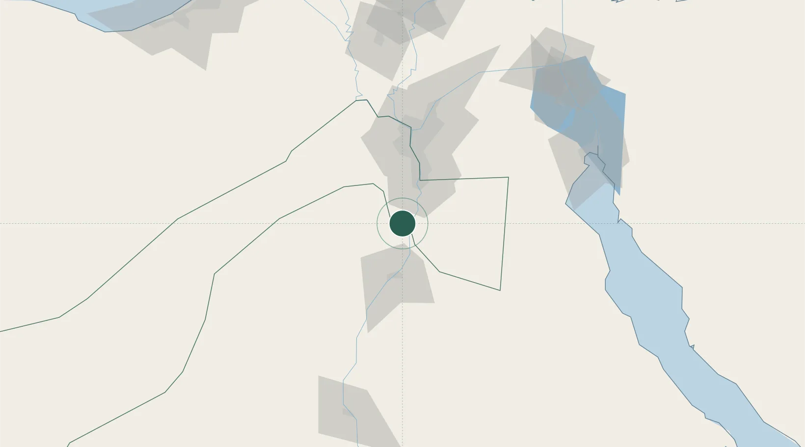
Hub Profile
Place type
Populated place
Region
Giza
Time zone
Africa/Cairo
Elevation
26 m
Location
Nearby Logistics Neighbours
Cities
- 1Al Minya34 km
- 2Beni Suef43 km
- 3Ain Sukhna57 km
- 46th October58 km
- 5Sixth of October City62 km
Ports
- 1Ain Sukhna Terminal118 km
- 2Sokhna Port Gas Tanker Terminal119 km
- 3El-Adabiya134 km
- 4As Suways145 km
- 5Ras Sudr149 km
Airports
- 1Bani Sweif Air Base31 km
- 2Almaza Air Force Base74 km
- 3Cairo International Airport77 km
- 4Sphinx International Airport78 km
- 5Cairo West Air Base78 km
Trade Zones
DatabookThe Record of Consolidated Knowledge
Egypt beyond logistics?