Export Processing Zone · Dominican Republic

Zona Franca Industrial Caracol Bonao Active
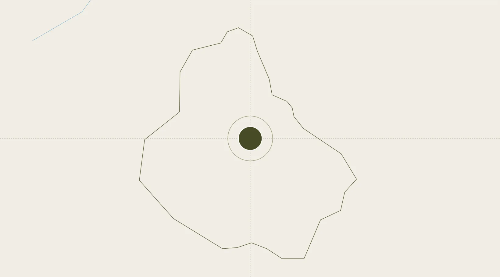
18.9241°, -70.4041°
50 ha
Zone area
69.6 km
Nearest port
57.4 km
Nearest airport

Gateway access

Nearest neighbours — logibook spatial index (haversine) over the source coordinates

Zone profile

Zone type
Export Processing Zone
Open Zone Map
Region
Monseñor Nouel
Open Zone Map
Status
Active
Open Zone Map
Management
Public
Open Zone Map
Operator
PROINDUSTRIA
Open Zone Map
Legal framework
Law 8-90, Amended in December 2007
Open Zone Map

Location

Location of ozm-1806
Natural Earth 10m (public domain) · Monseñor Nouel · ozm-1806 · 18.92, -70.40GoogleOSMYandex

Nearby Logistics Neighbours

Ports
  1. 1Puerto De Haina70 km
  2. 2Santo Domingo75 km
  3. 3Puerto Viejo De Azua78 km
  4. 4Las Calderas80 km
  5. 5Sanchez90 km
Nearest neighbours — logibook spatial index (haversine) over the source coordinates
Airports
  1. 1Cibao International Airport57 km
  2. 2La Isabela International Airport59 km
  3. 3Samaná El Catey International Airport80 km
  4. 4San Isidro Air Base82 km
  5. 5Gregorio Luperon International Airport94 km
Nearest neighbours — logibook spatial index (haversine) over the source coordinates
Cities
  1. 1Bonao1 km
  2. 2Jarabacoa32 km
  3. 3Constanza36 km
  4. 4Villa Altagracia38 km
  5. 5Pimentel43 km
Nearest neighbours — logibook spatial index (haversine) over the source coordinates
DatabookThe Record of Consolidated Knowledge
Dominican Republic beyond logistics?
Browse databook

All Sources

Trade ZonesOpen Zone Map
CC BY
Portsthe NGA World Port Index
Public domain (US gov)
AirportsOurAirports
Public domain
LocationsUN/LOCODE
UN/LOCODE — free
← Dominican Republic trade zones