Free Trade Zone · Dominican Republic

Zona Franca La Armería Active
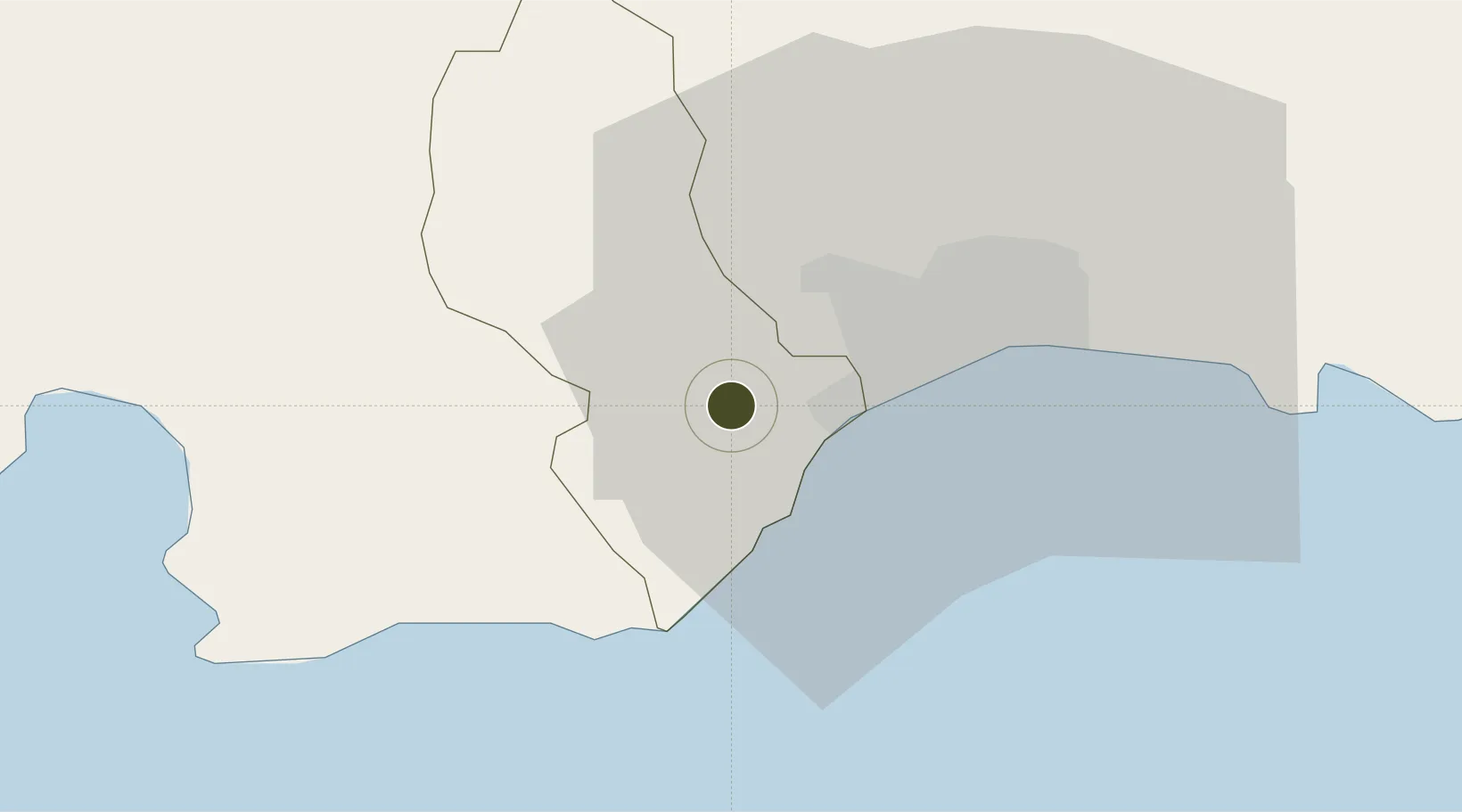
18.4213°, -70.1177°
31 ha
Zone area
10.7 km
Nearest port
21.8 km
Nearest airport

Gateway access

Nearest neighbours — logibook spatial index (haversine) over the source coordinates

Zone profile

Zone type
Free Trade Zone
Open Zone Map
Region
San Cristóbal
Open Zone Map
Status
Active
Open Zone Map
Management
Public
Open Zone Map
Operator
Asociacion De Empresas Zona Franca La Armeria
Open Zone Map
Legal framework
Law 8-90, Amended in December 2007
Open Zone Map

Location

Location of ozm-1828
Natural Earth 10m (public domain) · San Cristóbal · ozm-1828 · 18.42, -70.12GoogleOSMYandex

Nearby Logistics Neighbours

Ports
  1. 1Puerto De Haina11 km
  2. 2Santo Domingo25 km
  3. 3Las Calderas48 km
  4. 4Andres (Andres Lng Terminal)51 km
  5. 5Puerto Viejo De Azua76 km
Nearest neighbours — logibook spatial index (haversine) over the source coordinates
Airports
  1. 1La Isabela International Airport22 km
  2. 2San Isidro Air Base39 km
  3. 3Las Américas International Airport47 km
  4. 4Los Llanos de Sabanatosa Airport65 km
  5. 5Samaná El Catey International Airport102 km
Nearest neighbours — logibook spatial index (haversine) over the source coordinates
Cities
  1. 1Barcequillo9 km
  2. 2Nigua9 km
  3. 3Rio Haina12 km
  4. 4Pedro Brand12 km
  5. 5Haina14 km
Nearest neighbours — logibook spatial index (haversine) over the source coordinates
DatabookThe Record of Consolidated Knowledge
Dominican Republic beyond logistics?
Browse databook

All Sources

Trade ZonesOpen Zone Map
CC BY
Portsthe NGA World Port Index
Public domain (US gov)
AirportsOurAirports
Public domain
LocationsUN/LOCODE
UN/LOCODE — free
← Dominican Republic trade zones