Transport Functions
Multimodal
Hub Profile
Place type
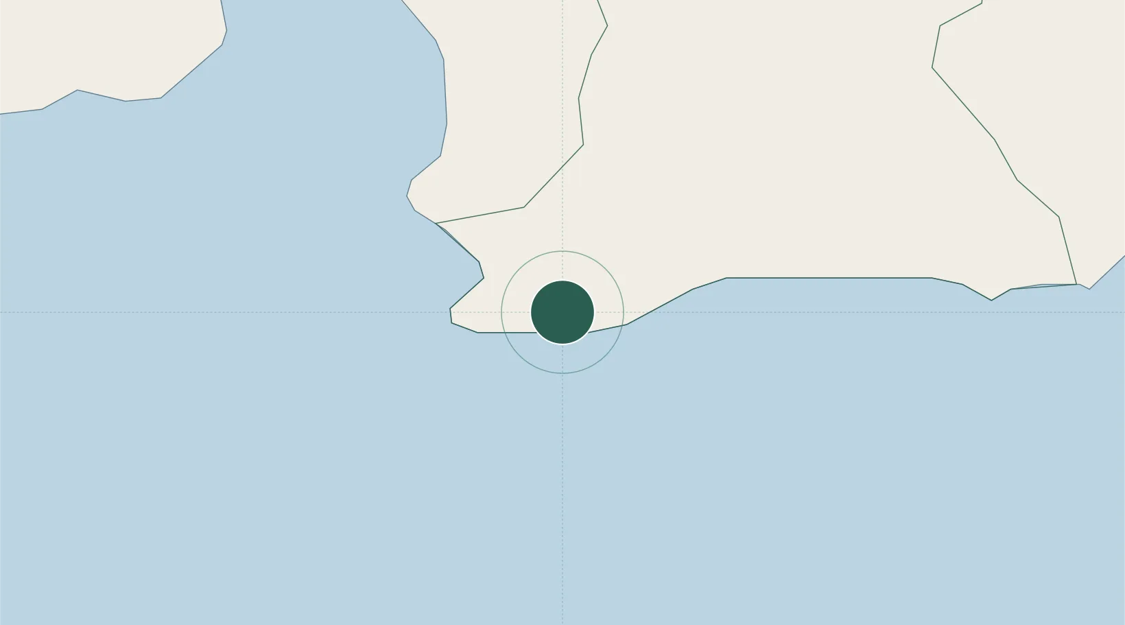
Populated place
Region
Peravia
Time zone
America/Santo_Domingo
Elevation
10 m
Location
Nearby Logistics Neighbours
Cities
- 1Baní19 km
- 2Azua36 km
- 3Higüey36 km
- 4Puerto Palenque37 km
- 5Puerto Viejo de Azua38 km
Ports
- 1Puerto Viejo De Azua38 km
- 2Puerto De Haina56 km
- 3Santa Cruz De Barahona62 km
- 4Santo Domingo71 km
- 5Andres (Andres Lng Terminal)95 km
Airports
DatabookThe Record of Consolidated Knowledge
Dominican Republic beyond logistics?