Small airport · Dominican Republic

Los Llanos de Sabanatosa AirportMDLL
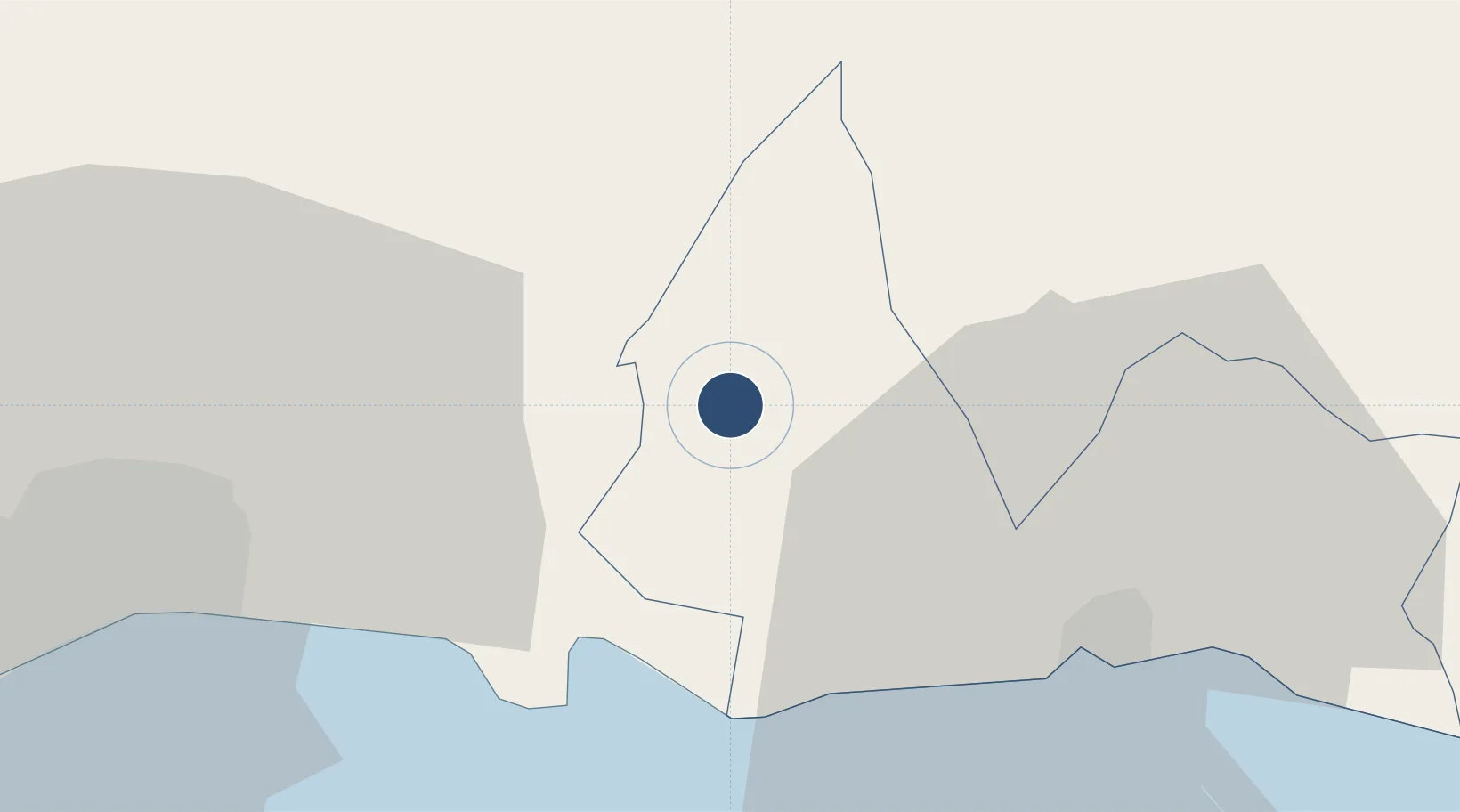
18.5964°, -69.5258°
262 ft
Elevation

Runway & Layout

Los Llanos de Sabanatosa Airport runway & taxiway layout
Runway & taxiway layout — OpenStreetMap (ODbL) / OurAirports

Airport Specifications

ICAO code
MDLL
OurAirports
Airport class
Small airport
OurAirports
Scheduled service
Yes
OurAirports

Location

Location of MDLL
Natural Earth 10m (public domain) · San Pedro de Macorís · MDLL · 18.60, -69.53GoogleOSMYandex

Nearby Logistics Neighbours

Airports
  1. 1Las Américas International Airport24 km
  2. 2San Isidro Air Base27 km
  3. 3La Isabela International Airport49 km
  4. 4Casa De Campo International Airport67 km
  5. 5Samaná El Catey International Airport78 km
Nearest neighbours — logibook spatial index (haversine) over the source coordinates
Cities
  1. 1Guerra19 km
  2. 2Caucedo22 km
  3. 3Juan Dolio23 km
  4. 4San Isidro26 km
  5. 5San Pedro de Macorís29 km
Nearest neighbours — logibook spatial index (haversine) over the source coordinates
Ports
  1. 1Andres (Andres Lng Terminal)21 km
  2. 2San Pedro De Macoris27 km
  3. 3Santo Domingo40 km
  4. 4Puerto De Haina56 km
  5. 5La Romana62 km
Nearest neighbours — logibook spatial index (haversine) over the source coordinates
Trade Zones
  1. 1La Isabela International Airport9 km
  2. 2Zona Franca Quisqueya13 km
  3. 3Zona Franca Industrial Riosur15 km
  4. 4Excel Boca Chica Industrial Free Zone18 km
  5. 5Zona Franca Industrial Bella Vista19 km
Nearest neighbours — logibook spatial index (haversine) over the source coordinates
DatabookThe Record of Consolidated Knowledge
Dominican Republic beyond logistics?
Browse databook

All Sources

AirportsOurAirports
Public domain
Portsthe NGA World Port Index
Public domain (US gov)
LocationsUN/LOCODE
UN/LOCODE — free
Trade Zonesthe World Bank SEZ database
CC BY 4.0
Trade ZonesOpen Zone Map
CC BY
InfrastructureOpenStreetMap
ODbL 1.0
← Dominican Republic airports