UN/LOCODE hub · Dominican Republic
DOVAL
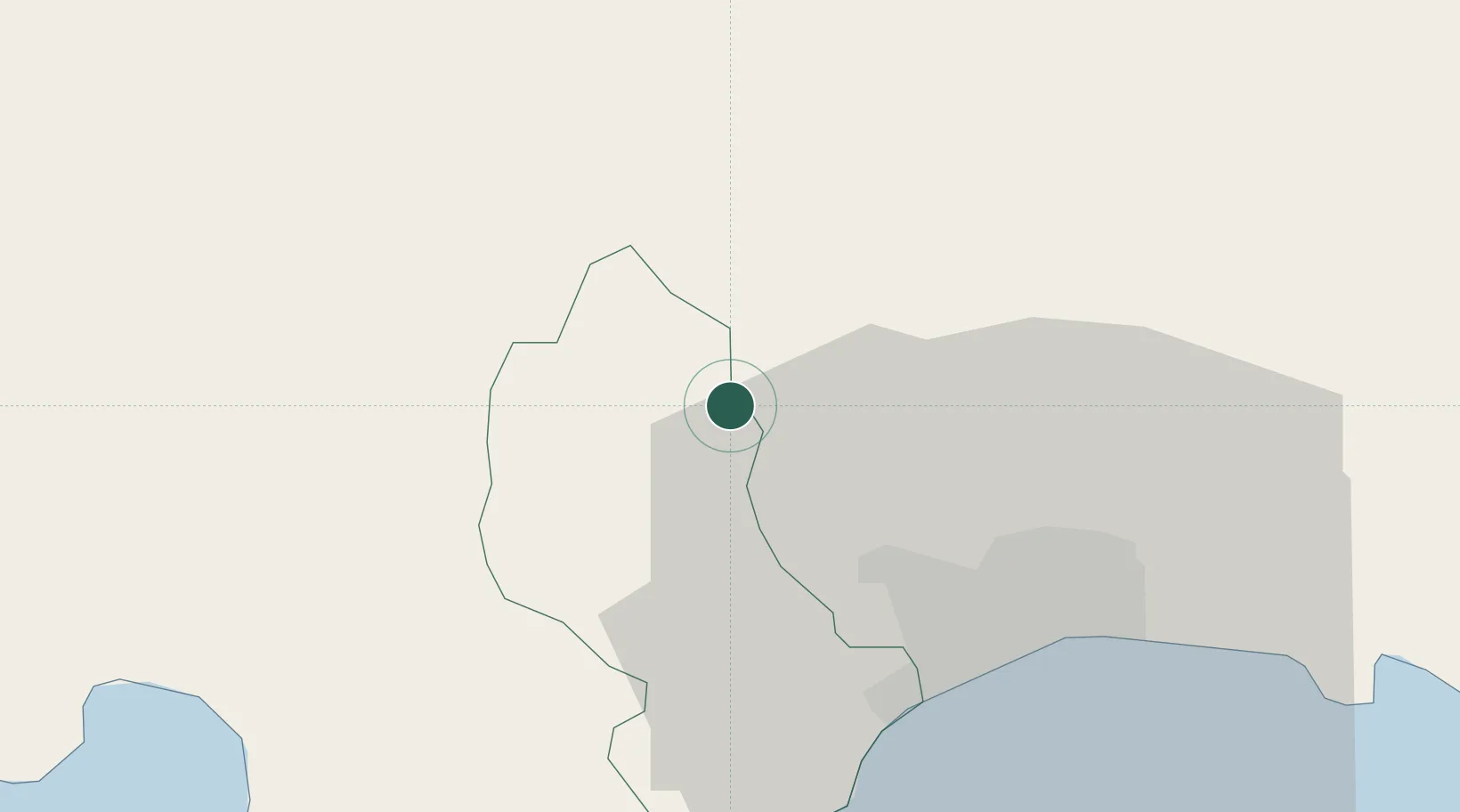
Villa Altagracia
18.6667°, -70.1667°
40,027
Population
2
Transport functions
Transport Functions
Port
Road
Hub Profile
Place type
Populated place
Region
San Cristóbal
Population
40,027
Time zone
America/Santo_Domingo
Elevation
178 m
Location
Nearby Logistics Neighbours
Cities
- 1Higüey26 km
- 2Barcequillo30 km
- 3Villa Mella31 km
- 4Rio Haina32 km
- 5Pedro Brand32 km
Ports
- 1Puerto De Haina32 km
- 2Santo Domingo37 km
- 3Andres (Andres Lng Terminal)62 km
- 4Las Calderas62 km
- 5Puerto Viejo De Azua79 km
Airports
DatabookThe Record of Consolidated Knowledge
Dominican Republic beyond logistics?