Large airport · Somalia

Egal International AirportHCMH
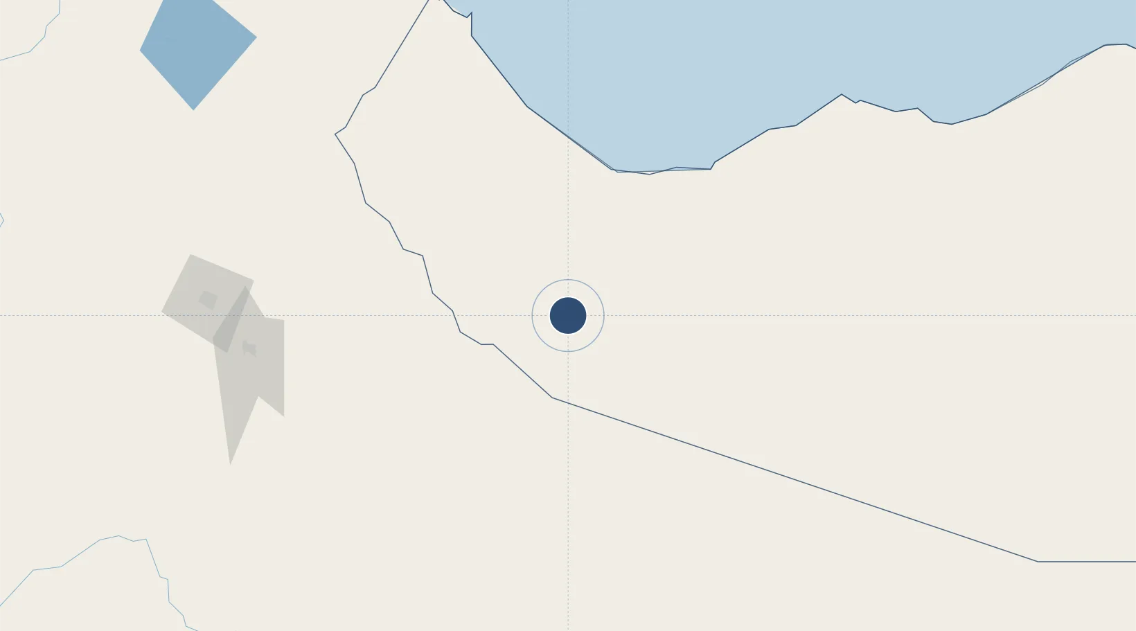
9.5141°, 44.0835°
12,139 ft
Longest runway
1
Runways
4,471 ft
Elevation

Runway & Layout

Egal International Airport runway & taxiway layout
Runway & taxiway layout — OpenStreetMap (ODbL) / OurAirports

Runways · 1

RunwayDimensions SurfaceTrue headingLit
06/24 12,139 × 148ft Asphalt 055°
OurAirports

Airport Specifications

IATA code
HGA
OurAirports
ICAO code
HCMH
OurAirports
Airport class
Large airport
OurAirports
Scheduled service
Yes
OurAirports
Runway surface
Asphalt
OurAirports
Served city
Hargeisa
OurAirports

Location

Location of HCMH
Natural Earth 10m (public domain) · Somaliland · HCMH · 9.51, 44.08GoogleOSMYandex

Nearby Logistics Neighbours

Airports
  1. 1Gerad Wilwal International Airport130 km
  2. 2Berbera Airport135 km
  3. 3Aba Tenna Dejazmach Yilma International Airport245 km
  4. 4Djibouti-Ambouli Airport248 km
  5. 5Kebri Dahar Airport310 km
Nearest neighbours — logibook spatial index (haversine) over the source coordinates
Cities
  1. 1Berbera143 km
  2. 2Doraleh Container Terminal239 km
  3. 3Damerjog240 km
  4. 4Camp Lemonier247 km
  5. 5Djibouti252 km
Nearest neighbours — logibook spatial index (haversine) over the source coordinates
Ports
  1. 1Berbera146 km
  2. 2Djibouti254 km
  3. 3Doraleh256 km
  4. 4Aden376 km
  5. 5Assab414 km
Nearest neighbours — logibook spatial index (haversine) over the source coordinates
Trade Zones
  1. 1Berbera Economic Free Zone143 km
  2. 2Damerjog Industrial Development Free Zone238 km
  3. 3CCECC Dire Dawa Industrial Park241 km
  4. 4Dire Dawi Industrial Development Zone250 km
  5. 5Djibouti Free Zone253 km
Nearest neighbours — logibook spatial index (haversine) over the source coordinates
DatabookThe Record of Consolidated Knowledge
Somalia beyond logistics?
Browse databook

All Sources

AirportsOurAirports
Public domain
Portsthe NGA World Port Index
Public domain (US gov)
LocationsUN/LOCODE
UN/LOCODE — free
Trade Zonesthe World Bank SEZ database
CC BY 4.0
Trade ZonesOpen Zone Map
CC BY
InfrastructureOpenStreetMap
ODbL 1.0
← Somalia airports