Industrial Zone · Vietnam

Hoa Hiep Phase I Industrial Zone
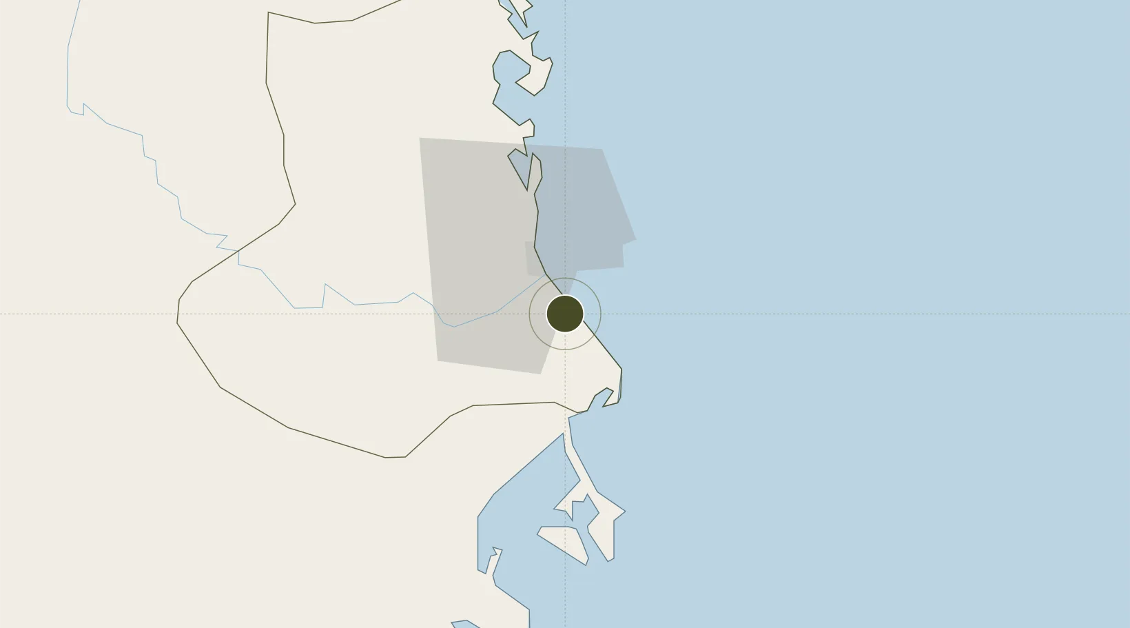
13.0128°, 109.3626°
102 ha
Zone area
85.0 km
Nearest port
5.1 km
Nearest airport

Gateway access

Nearest neighbours — logibook spatial index (haversine) over the source coordinates

Zone profile

Zone type
Industrial Zone
the World Bank SEZ database
Region
Phú Yên
the World Bank SEZ database
Established
2002
the World Bank SEZ database
Management
Public agency
the World Bank SEZ database
Operator
Peoples Committee of Phu Yen Province
the World Bank SEZ database
Regulatory authority
Chairmen of Provincial People's Committees
the World Bank SEZ database
Legal framework
Law on Foreign Investment in Vietnam, 1996; Decree No. 36/1997/CP on The Regulation of Industrial, Economic and Export processing zones
the World Bank SEZ database

Location

Location of VNM222
Natural Earth 10m (public domain) · Phú Yên · VNM222 · 13.01, 109.36GoogleOSMYandex

Fiscal & incentives

Corporate tax
20%
the World Bank SEZ database
Tax relief
100% exempt
the World Bank SEZ database
Relief duration
4 years
the World Bank SEZ database
VAT
No exemption
the World Bank SEZ database
Import duty (inputs)
0% exempt
the World Bank SEZ database
Import duty (capex)
100% exempt
the World Bank SEZ database
Profit repatriation
No exemption
the World Bank SEZ database
Capital gains
No exemption
the World Bank SEZ database
Withholding tax
No exemption
the World Bank SEZ database
Min. investment
None
the World Bank SEZ database
Min. export
0%
the World Bank SEZ database
Employment incentive
No exemption
the World Bank SEZ database
Developer incentive
No established framework
the World Bank SEZ database

Nearby Logistics Neighbours

Ports
  1. 1Qui Nhon85 km
  2. 2Nha Trang86 km
  3. 3Vinh Cam Ranh127 km
  4. 4Da Nang365 km
  5. 5Phu My371 km
Nearest neighbours — logibook spatial index (haversine) over the source coordinates
Airports
  1. 1Dong Tac Airport5 km
  2. 2Phu Cat Airport110 km
  3. 3Cam Ranh International Airport / Cam Ranh Air Base114 km
  4. 4Buon Ma Thuot Airport140 km
  5. 5Lien Khuong Airport177 km
Nearest neighbours — logibook spatial index (haversine) over the source coordinates
Cities
  1. 1Vung Ro19 km
  2. 2Dam Mon39 km
  3. 3Trung Hoa50 km
  4. 4Ninh Hòa64 km
  5. 5Thi Nai Port85 km
Nearest neighbours — logibook spatial index (haversine) over the source coordinates
Trade Zones
  1. 1Nam Phu Yen Coastal Economic Zone13 km
  2. 2Van Phong Coastal Economic Zone34 km
  3. 3Van Phong Economic Zone43 km
  4. 4Ninh Thuy Industrial Zone57 km
  5. 5Hòa Hiệp 1 Industrial Zone58 km
Nearest neighbours — logibook spatial index (haversine) over the source coordinates
DatabookThe Record of Consolidated Knowledge
Vietnam beyond logistics?
Browse databook

All Sources

Trade Zonesthe World Bank SEZ database
CC BY 4.0
Portsthe NGA World Port Index
Public domain (US gov)
AirportsOurAirports
Public domain
LocationsUN/LOCODE
UN/LOCODE — free
← Vietnam trade zones