UN/LOCODE hub · Vietnam
VNDMO

Dam Mon

12.6667°, 109.4000°
1
Transport functions

Transport Functions

Port
UN/LOCODE

Hub Profile

Region
34
GeoNames

Location

Location of VNDMO
Natural Earth 10m (public domain) · 34 · VNDMO · 12.67, 109.40GoogleOSMYandex

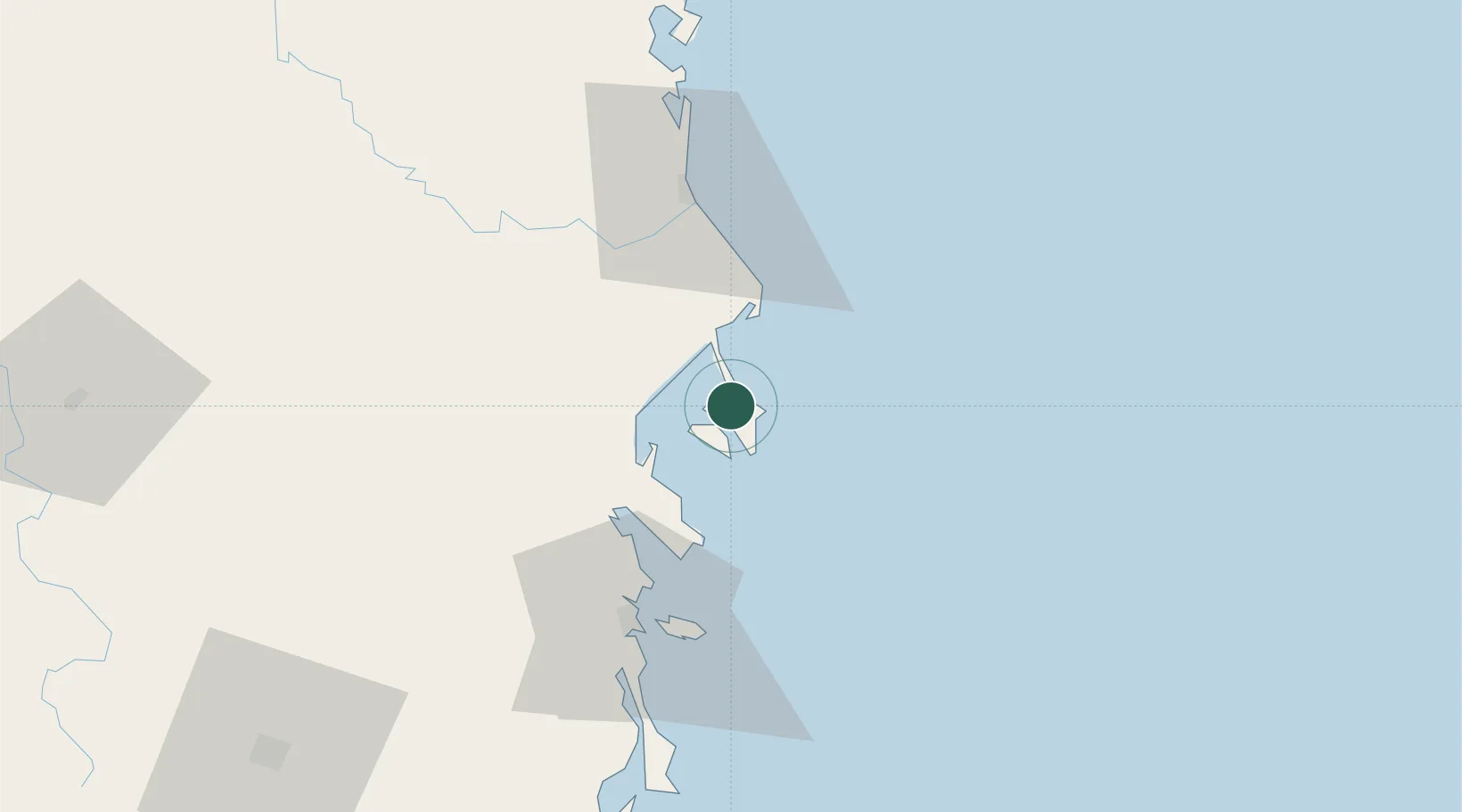
Nearby Logistics Neighbours

Cities
  1. 1Vung Ro21 km
  2. 2Trung Hoa28 km
  3. 3Ninh Hòa35 km
  4. 4Cam Lâm90 km
  5. 5Ba Ngoi90 km
Nearest neighbours — logibook spatial index (haversine) over the source coordinates
Ports
  1. 1Nha Trang50 km
  2. 2Vinh Cam Ranh91 km
  3. 3Qui Nhon124 km
  4. 4Phu My347 km
  5. 5Thanh Hoa353 km
Nearest neighbours — logibook spatial index (haversine) over the source coordinates
Airports
  1. 1Dong Tac Airport43 km
  2. 2Cam Ranh International Airport / Cam Ranh Air Base77 km
  3. 3Buon Ma Thuot Airport139 km
  4. 4Phu Cat Airport148 km
  5. 5Lien Khuong Airport152 km
Nearest neighbours — logibook spatial index (haversine) over the source coordinates
Trade Zones
  1. 1Van Phong Economic Zone11 km
  2. 2Van Phong Coastal Economic Zone17 km
  3. 3Ninh Thuy Industrial Zone25 km
  4. 4Bắc Vân Phong Special Economic Zone35 km
  5. 5Hoa Hiep Phase I Industrial Zone39 km
Nearest neighbours — logibook spatial index (haversine) over the source coordinates
DatabookThe Record of Consolidated Knowledge
Vietnam beyond logistics?
Browse databook

All Sources

LocationsUN/LOCODE
UN/LOCODE — free
Portsthe NGA World Port Index
Public domain (US gov)
AirportsOurAirports
Public domain
Trade Zonesthe World Bank SEZ database
CC BY 4.0
Trade ZonesOpen Zone Map
CC BY
← Vietnam locations