Free Trade Zone · Vietnam

Van Phong Coastal Economic Zone Active
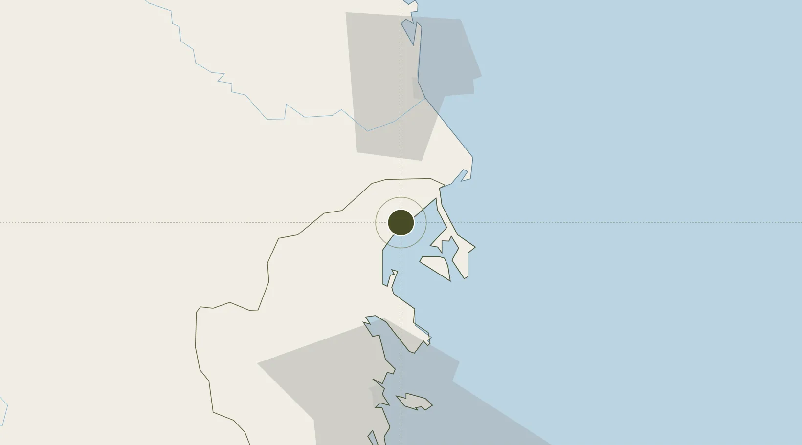
12.7263°, 109.2584°
70,000 ha
Zone area
53.0 km
Nearest port
36.9 km
Nearest airport

Gateway access

Nearest neighbours — logibook spatial index (haversine) over the source coordinates

Zone profile

Zone type
Free Trade Zone
Open Zone Map
Region
Khánh Hòa
Open Zone Map
Status
Active
Open Zone Map
Management
Public
Open Zone Map
Operator
Management Board of Van Phong Economic Zone
Open Zone Map
Legal framework
Decision No. 92/2006 / QD-TTg, Decision No. 21/2008 / QD-TTg, Decision No. 1353/QD·TTg Sept. 23, 2008
Open Zone Map

Location

Location of ozm-5194
Natural Earth 10m (public domain) · Khánh Hòa · ozm-5194 · 12.73, 109.26GoogleOSMYandex

Nearby Logistics Neighbours

Ports
  1. 1Nha Trang53 km
  2. 2Vinh Cam Ranh94 km
  3. 3Qui Nhon116 km
  4. 4Phu My340 km
  5. 5Thanh Hoa345 km
Nearest neighbours — logibook spatial index (haversine) over the source coordinates
Airports
  1. 1Dong Tac Airport37 km
  2. 2Cam Ranh International Airport / Cam Ranh Air Base81 km
  3. 3Buon Ma Thuot Airport124 km
  4. 4Phu Cat Airport139 km
  5. 5Lien Khuong Airport145 km
Nearest neighbours — logibook spatial index (haversine) over the source coordinates
Cities
  1. 1Dam Mon17 km
  2. 2Trung Hoa17 km
  3. 3Vung Ro22 km
  4. 4Ninh Hòa30 km
  5. 5Cam Lâm93 km
Nearest neighbours — logibook spatial index (haversine) over the source coordinates
Trade Zones
  1. 1Van Phong Economic Zone11 km
  2. 2Ninh Thuy Industrial Zone24 km
  3. 3Bắc Vân Phong Special Economic Zone29 km
  4. 4Hoa Hiep Phase I Industrial Zone34 km
  5. 5Nam Phu Yen Coastal Economic Zone43 km
Nearest neighbours — logibook spatial index (haversine) over the source coordinates
DatabookThe Record of Consolidated Knowledge
Vietnam beyond logistics?
Browse databook

All Sources

Trade ZonesOpen Zone Map
CC BY
Portsthe NGA World Port Index
Public domain (US gov)
AirportsOurAirports
Public domain
LocationsUN/LOCODE
UN/LOCODE — free
← Vietnam trade zones