Economic Zone · Vietnam
Van Phong Economic Zone
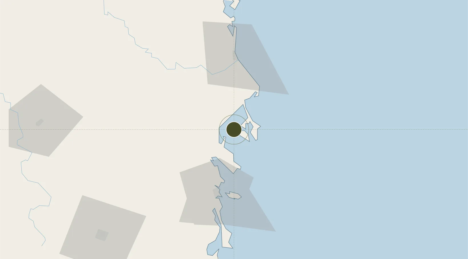
12.6354°, 109.3007°
150 ha
Zone area
43.5 km
Nearest port
46.2 km
Nearest airport
Gateway access
Zone profile
Zone type
Economic Zone
Region
Khánh Hòa
Established
2006
Management
Public agency
Operator
Van Phong Economic Zone Management Board
Regulatory authority
Prime Minister
Legal framework
Law on Foreign Investment in Vietnam, 1996; Decree No. 36/1997/CP on The Regulation of Industrial, Economic and Export processing zones
Location
Fiscal & incentives
Corporate tax
20%
Tax relief
100% exempt
Relief duration
4 years
VAT
No exemption
Import duty (inputs)
0% exempt
Import duty (capex)
100% exempt
Profit repatriation
No exemption
Capital gains
No exemption
Withholding tax
No exemption
Min. investment
None
Min. export
0%
Employment incentive
No exemption
Developer incentive
No established framework
Nearby Logistics Neighbours
Ports
- 1Nha Trang44 km
- 2Vinh Cam Ranh85 km
- 3Qui Nhon126 km
- 4Phu My336 km
- 5Thanh Hoa342 km
Airports
- 1Dong Tac Airport46 km
- 2Cam Ranh International Airport / Cam Ranh Air Base71 km
- 3Buon Ma Thuot Airport128 km
- 4Lien Khuong Airport141 km
- 5Phu Cat Airport149 km
Trade Zones
DatabookThe Record of Consolidated Knowledge
Vietnam beyond logistics?