UN/LOCODE hub · Vietnam
VNTNA

Thi Nai Port

13.7667°, 109.2500°
2
Transport functions

Transport Functions

Port
Road
UN/LOCODE

Hub Profile

Region
31
GeoNames

Location

Location of VNTNA
Natural Earth 10m (public domain) · 31 · VNTNA · 13.77, 109.25GoogleOSMYandex

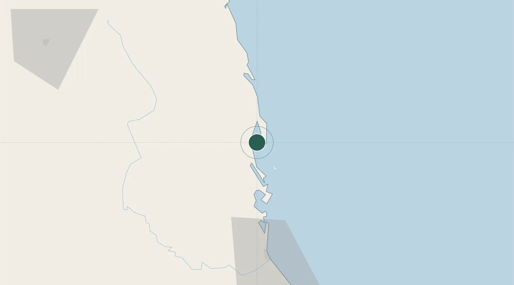
Nearby Logistics Neighbours

Cities
  1. 1Tan Cang - Mien Trung Terminal2 km
  2. 2Qui Nhon3 km
  3. 3Tan Cang Qui Nhon63 km
  4. 4Bong Son78 km
  5. 5Vung Ro104 km
Nearest neighbours — logibook spatial index (haversine) over the source coordinates
Ports
  1. 1Qui Nhon2 km
  2. 2Nha Trang169 km
  3. 3Vinh Cam Ranh210 km
  4. 4Da Nang282 km
  5. 5Thanh Hoa425 km
Nearest neighbours — logibook spatial index (haversine) over the source coordinates
Airports
  1. 1Phu Cat Airport31 km
  2. 2Dong Tac Airport80 km
  3. 3Pleiku Airport136 km
  4. 4Buon Ma Thuot Airport173 km
  5. 5Chu Lai Airport191 km
Nearest neighbours — logibook spatial index (haversine) over the source coordinates
Trade Zones
  1. 1Bình Định Becamex Industrial Zone (IZ)3 km
  2. 2Nhon Hoi Economic Zone Industrial Zone7 km
  3. 3Nhon Hoi Economic Zone11 km
  4. 4Long My Industrial Park14 km
  5. 5Nhon Hoa Industrial Zone21 km
Nearest neighbours — logibook spatial index (haversine) over the source coordinates
DatabookThe Record of Consolidated Knowledge
Vietnam beyond logistics?
Browse databook

All Sources

LocationsUN/LOCODE
UN/LOCODE — free
Portsthe NGA World Port Index
Public domain (US gov)
AirportsOurAirports
Public domain
Trade Zonesthe World Bank SEZ database
CC BY 4.0
Trade ZonesOpen Zone Map
CC BY
← Vietnam locations