Transport Functions
Port
Road
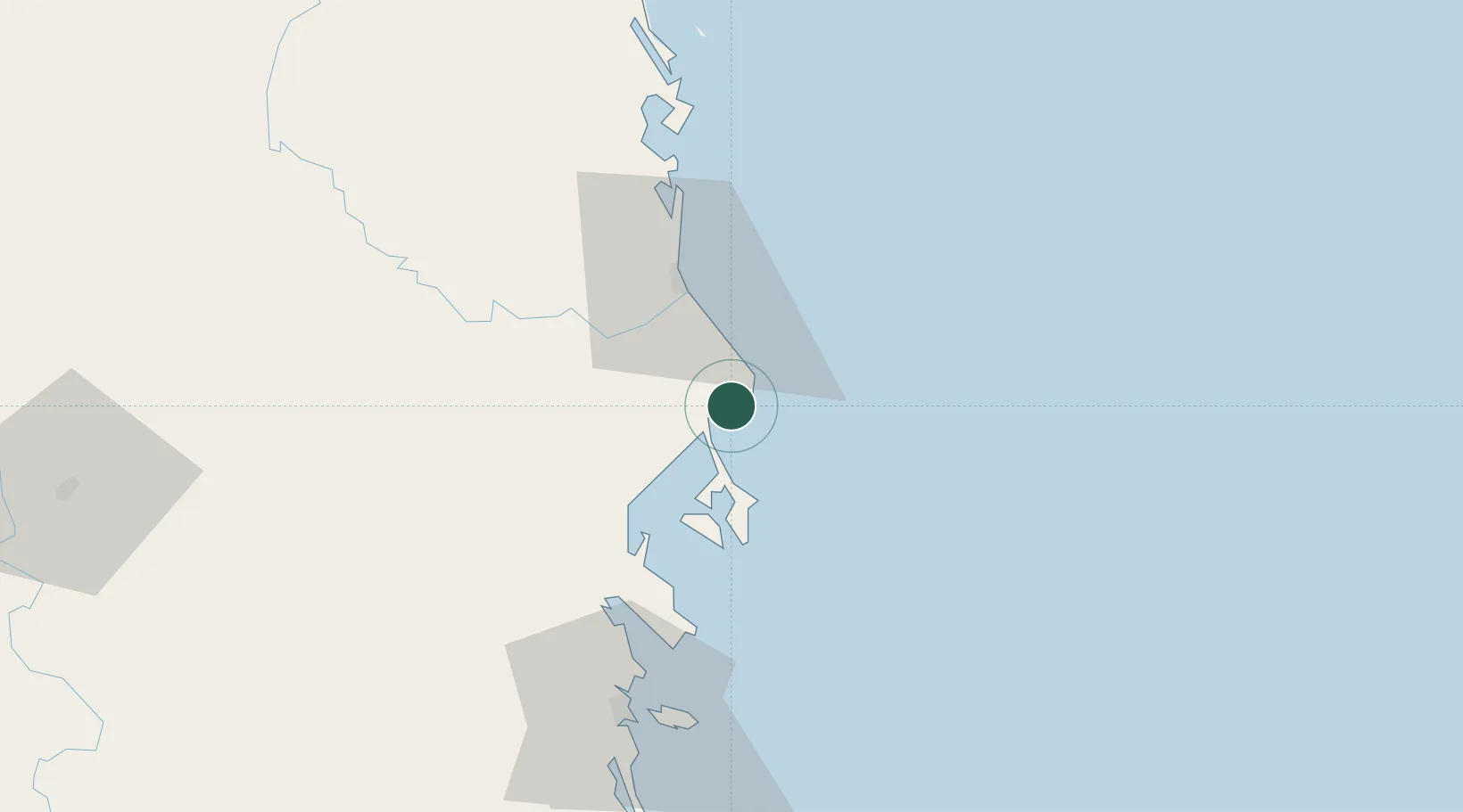
Location
Nearby Logistics Neighbours
Cities
- 1Dam Mon21 km
- 2Trung Hoa39 km
- 3Ninh Hòa51 km
- 4Thi Nai Port104 km
- 5Tan Cang - Mien Trung Terminal104 km
Ports
- 1Nha Trang70 km
- 2Qui Nhon104 km
- 3Vinh Cam Ranh111 km
- 4Phu My362 km
- 5Thanh Hoa367 km
Airports
- 1Dong Tac Airport24 km
- 2Cam Ranh International Airport / Cam Ranh Air Base97 km
- 3Phu Cat Airport129 km
- 4Buon Ma Thuot Airport142 km
- 5Lien Khuong Airport167 km
Trade Zones
DatabookThe Record of Consolidated Knowledge
Vietnam beyond logistics?