Diversified Zone · Vietnam

Ninh Thuy Industrial Zone Active
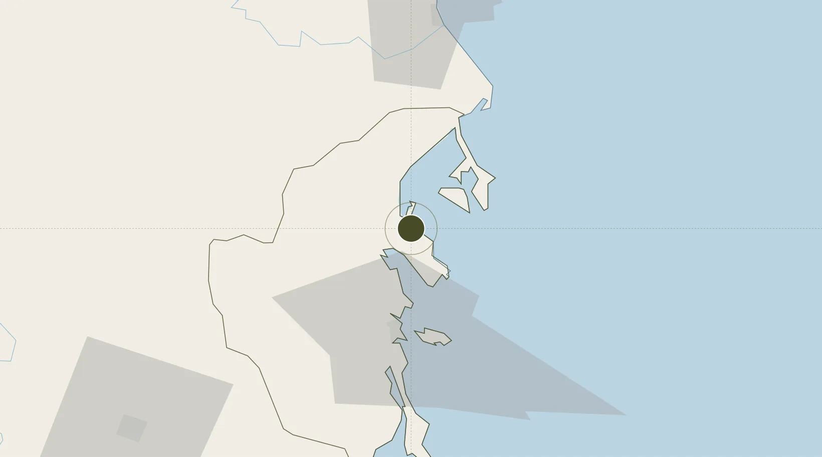
12.5144°, 109.2358°
250 ha
Zone area
29.4 km
Nearest port
57.4 km
Nearest airport

Gateway access

Nearest neighbours — logibook spatial index (haversine) over the source coordinates

Zone profile

Zone type
Diversified Zone
Open Zone Map
Region
Khánh Hòa
Open Zone Map
Status
Active
Open Zone Map
Management
Public
Open Zone Map
Operator
Ministry of Planning and Investment of Khanh Hoa
Open Zone Map
Legal framework
Decree No.82/2018/ND-CP on Management of Industrial Parks and Economic Zones, Decree No 218/2013/ND-CP
Open Zone Map

Location

Location of ozm-5078
Natural Earth 10m (public domain) · Khánh Hòa · ozm-5078 · 12.51, 109.24GoogleOSMYandex

Nearby Logistics Neighbours

Ports
  1. 1Nha Trang29 km
  2. 2Vinh Cam Ranh71 km
  3. 3Qui Nhon139 km
  4. 4Phu My322 km
  5. 5Thanh Hoa329 km
Nearest neighbours — logibook spatial index (haversine) over the source coordinates
Airports
  1. 1Cam Ranh International Airport / Cam Ranh Air Base57 km
  2. 2Dong Tac Airport61 km
  3. 3Buon Ma Thuot Airport122 km
  4. 4Lien Khuong Airport127 km
  5. 5Phu Cat Airport162 km
Nearest neighbours — logibook spatial index (haversine) over the source coordinates
Cities
  1. 1Ninh Hòa12 km
  2. 2Trung Hoa15 km
  3. 3Dam Mon25 km
  4. 4Vung Ro42 km
  5. 5Cam Lâm69 km
Nearest neighbours — logibook spatial index (haversine) over the source coordinates
Trade Zones
  1. 1Bắc Vân Phong Special Economic Zone11 km
  2. 2Van Phong Economic Zone15 km
  3. 3Van Phong Coastal Economic Zone24 km
  4. 4Suoi Dau Industrial Zone44 km
  5. 5Hoa Hiep Phase I Industrial Zone57 km
Nearest neighbours — logibook spatial index (haversine) over the source coordinates
DatabookThe Record of Consolidated Knowledge
Vietnam beyond logistics?
Browse databook

All Sources

Trade ZonesOpen Zone Map
CC BY
Portsthe NGA World Port Index
Public domain (US gov)
AirportsOurAirports
Public domain
LocationsUN/LOCODE
UN/LOCODE — free
← Vietnam trade zones