Diversified Zone · Vietnam

Hòa Hiệp 1 Industrial Zone Active
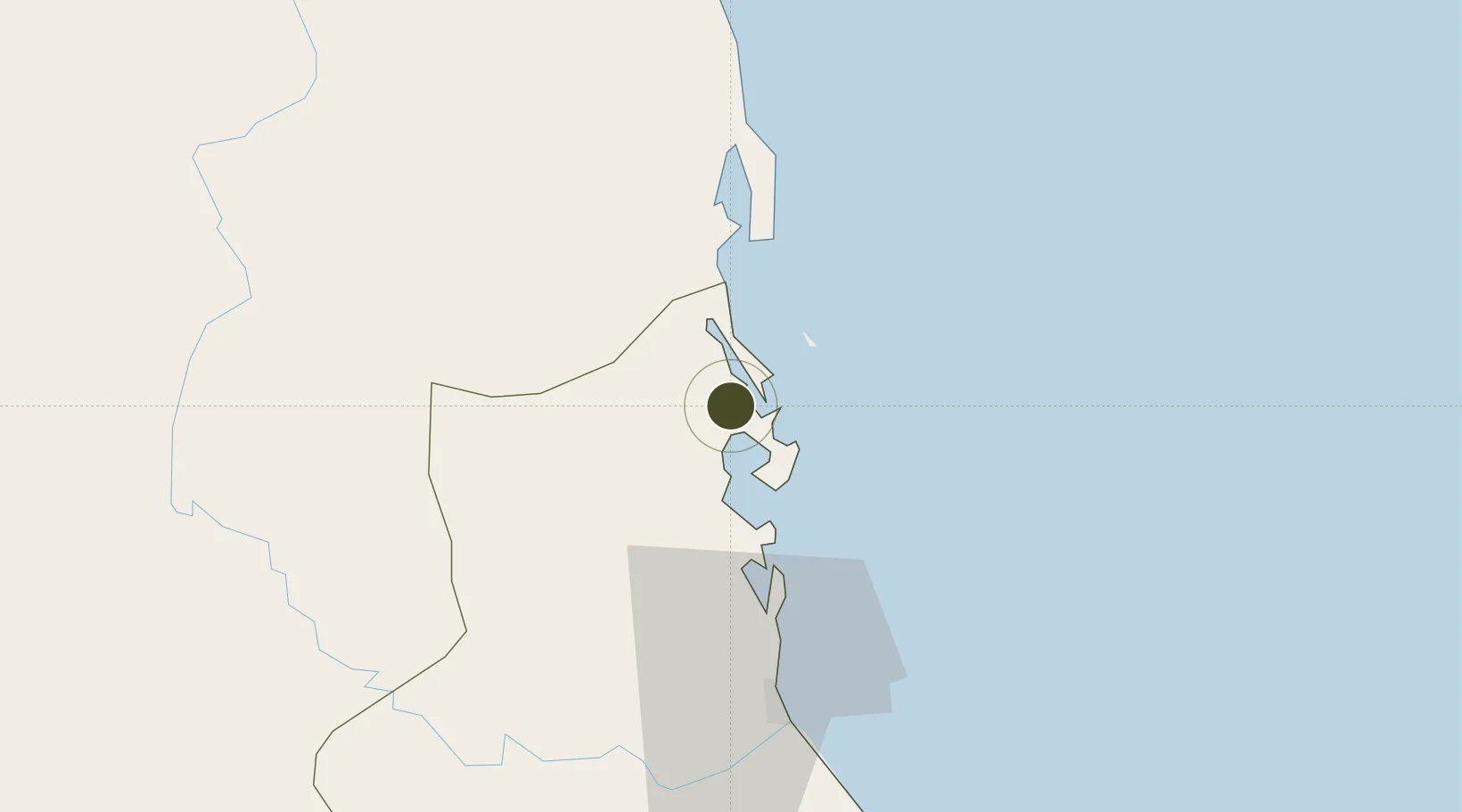
13.5255°, 109.2442°
141 ha
Zone area
26.8 km
Nearest port
52.5 km
Nearest airport

Gateway access

Nearest neighbours — logibook spatial index (haversine) over the source coordinates

Zone profile

Zone type
Diversified Zone
Open Zone Map
Region
Phú Yên
Open Zone Map
Status
Active
Open Zone Map
Management
Public
Open Zone Map
Operator
Phu Yen People's Committee
Open Zone Map
Legal framework
Decree No.82/2018/ND-CP on Management of Industrial Parks and Economic Zones, Decree No 218/2013/ND-CP
Open Zone Map

Location

Location of ozm-5051
Natural Earth 10m (public domain) · Phú Yên · ozm-5051 · 13.53, 109.24GoogleOSMYandex

Nearby Logistics Neighbours

Ports
  1. 1Qui Nhon27 km
  2. 2Nha Trang142 km
  3. 3Vinh Cam Ranh183 km
  4. 4Da Nang307 km
  5. 5Thanh Hoa404 km
Nearest neighbours — logibook spatial index (haversine) over the source coordinates
Airports
  1. 1Phu Cat Airport53 km
  2. 2Dong Tac Airport54 km
  3. 3Pleiku Airport143 km
  4. 4Buon Ma Thuot Airport155 km
  5. 5Cam Ranh International Airport / Cam Ranh Air Base170 km
Nearest neighbours — logibook spatial index (haversine) over the source coordinates
Cities
  1. 1Thi Nai Port27 km
  2. 2Tan Cang - Mien Trung Terminal27 km
  3. 3Qui Nhon28 km
  4. 4Tan Cang Qui Nhon69 km
  5. 5Vung Ro77 km
Nearest neighbours — logibook spatial index (haversine) over the source coordinates
Trade Zones
  1. 1Long My Industrial Park25 km
  2. 2Bình Định Becamex Industrial Zone (IZ)26 km
  3. 3Nhon Hoi Economic Zone Industrial Zone34 km
  4. 4Nhon Hoi Economic Zone38 km
  5. 5Nhon Hoa Industrial Zone40 km
Nearest neighbours — logibook spatial index (haversine) over the source coordinates
DatabookThe Record of Consolidated Knowledge
Vietnam beyond logistics?
Browse databook

All Sources

Trade ZonesOpen Zone Map
CC BY
Portsthe NGA World Port Index
Public domain (US gov)
AirportsOurAirports
Public domain
LocationsUN/LOCODE
UN/LOCODE — free
← Vietnam trade zones