UN/LOCODE hub · South Africa
ZADUR
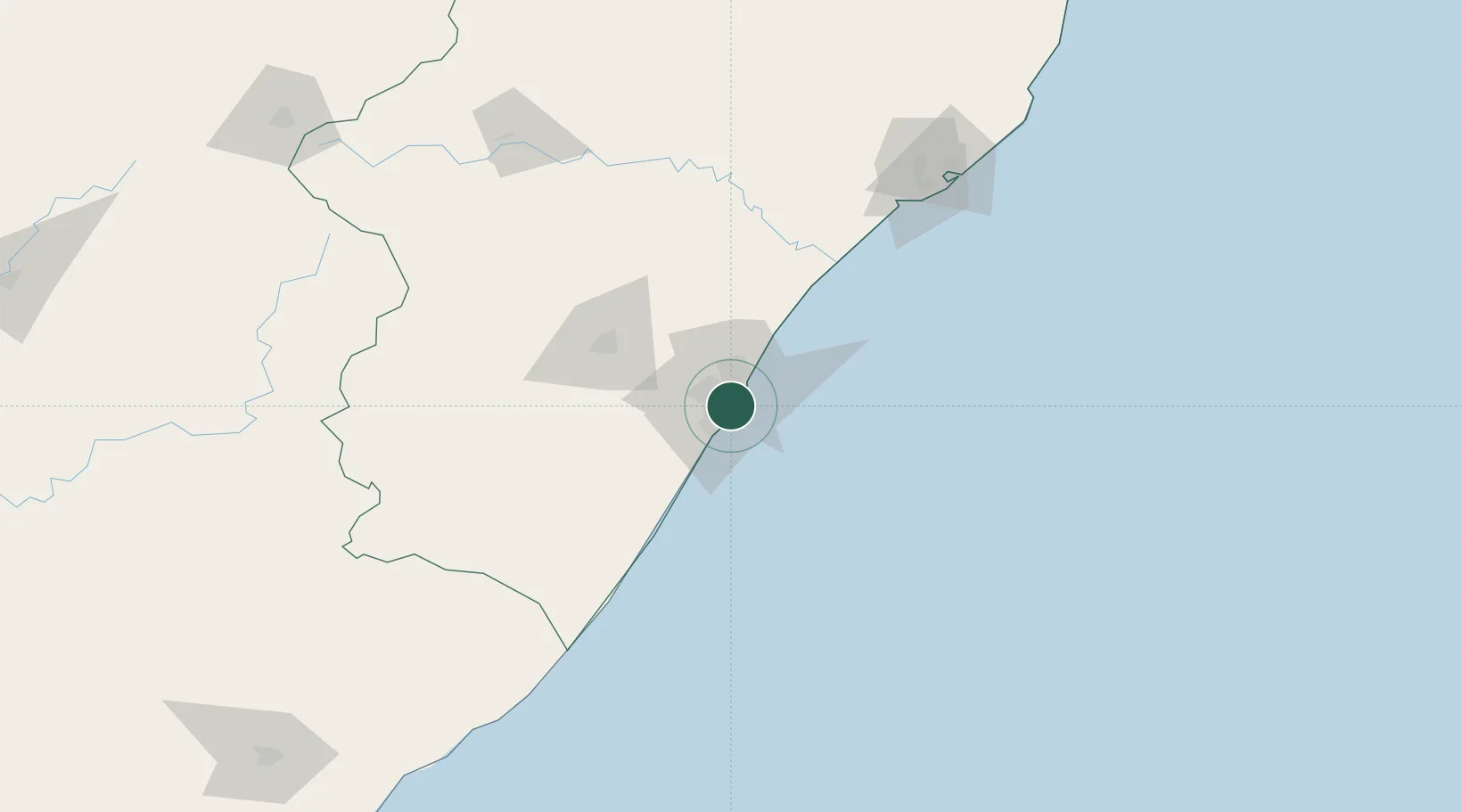
Durban
-29.9074°, 30.9786°
3,338,026
Population
5
Transport functions
5
Container terminals
Transport Functions
Port
Rail
Road
Airport
Postal
Hub Profile
Place type
Provincial seat
Region
KwaZulu-Natal
Population
3,338,026
Time zone
Africa/Johannesburg
Elevation
21 m
Logistics facilities
56
Container terminals
5
Location
Nearby Logistics Neighbours
Cities
- 1Umbilo1 km
- 2Clairwood1 km
- 3Jacobs3 km
- 4Bayhead4 km
- 5Merebank East5 km
Ports
- 1Richards Bay163 km
- 2East London453 km
- 3Maputo465 km
- 4Port Elizabeth675 km
- 5Inhambane797 km
Airports
- 1Virginia Airport17 km
- 2King Shaka International Airport35 km
- 3Pietermaritzburg Airport63 km
- 4Margate Airport122 km
- 5Richards Bay Airport169 km
Trade Zones
- 1Dube TradePort33 km
- 2Dube AgriZone35 km
- 3Dube TradeZone36 km
- 4Durban Aerotropolis39 km
- 5Isithebe Industrial Park99 km
DatabookThe Record of Consolidated Knowledge
South Africa beyond logistics?