Transport Functions
Multimodal
Hub Profile
Place type
Urban district
Region
KwaZulu-Natal
Time zone
Africa/Johannesburg
Elevation
63 m
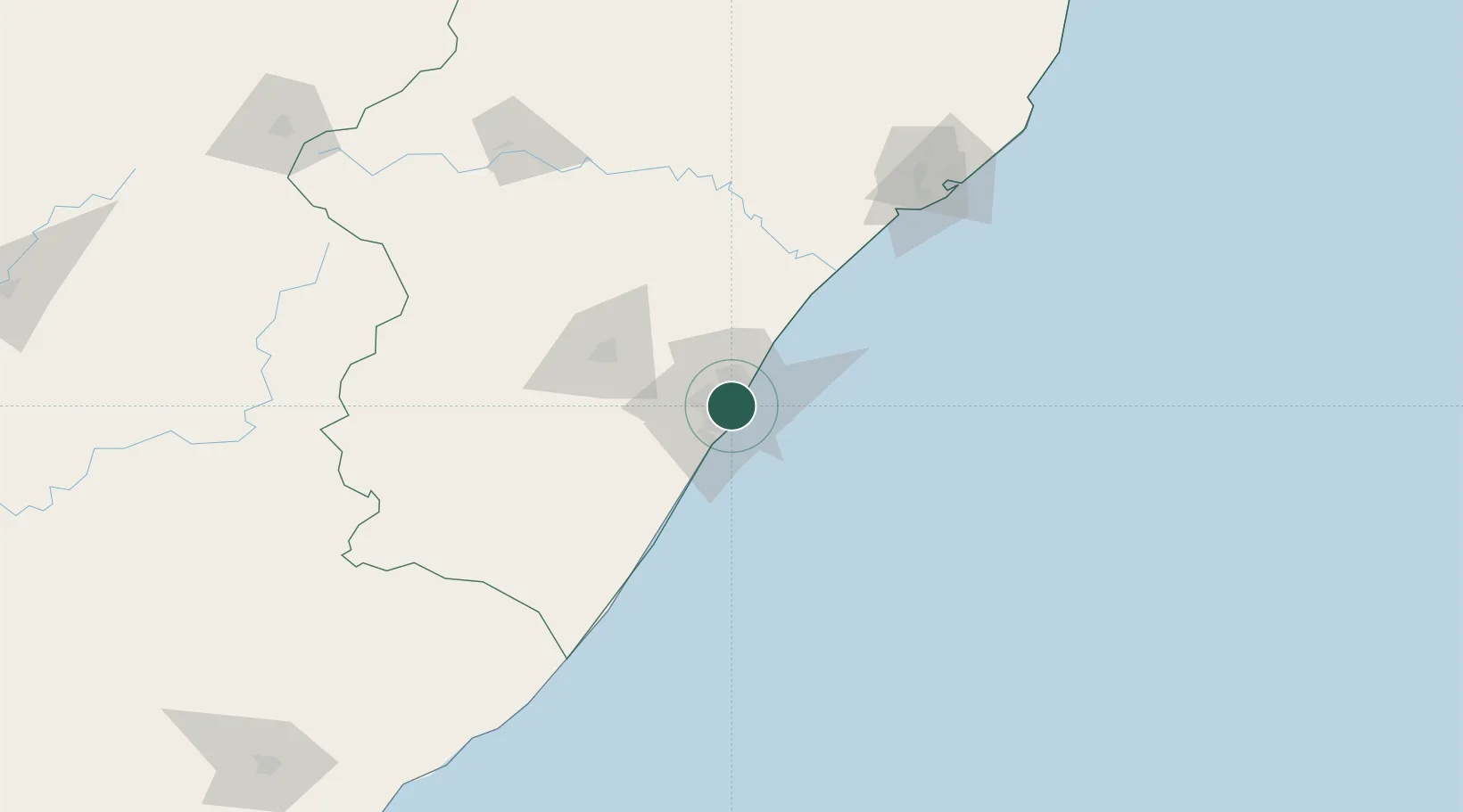
Location
Nearby Logistics Neighbours
Cities
- 1Congella2 km
- 2Umbilo4 km
- 3Bayhead4 km
- 4Durban5 km
- 5Island View5 km
Ports
- 1Durban8 km
- 2Richards Bay160 km
- 3East London457 km
- 4Maputo460 km
- 5Port Elizabeth678 km
Airports
- 1Virginia Airport13 km
- 2King Shaka International Airport31 km
- 3Pietermaritzburg Airport61 km
- 4Margate Airport126 km
- 5Richards Bay Airport165 km
Trade Zones
- 1Dube TradePort29 km
- 2Dube AgriZone31 km
- 3Dube TradeZone32 km
- 4Durban Aerotropolis35 km
- 5Isithebe Industrial Park95 km
DatabookThe Record of Consolidated Knowledge
South Africa beyond logistics?