UN/LOCODE hub · South Africa
ZACGN

Congella

-29.8667°, 31.0000°
2
Transport functions

Transport Functions

Rail
Road
UN/LOCODE

Hub Profile

Region
KZN
GeoNames

Location

Location of ZACGN
Natural Earth 10m (public domain) · KZN · ZACGN · -29.87, 31.00GoogleOSMYandex

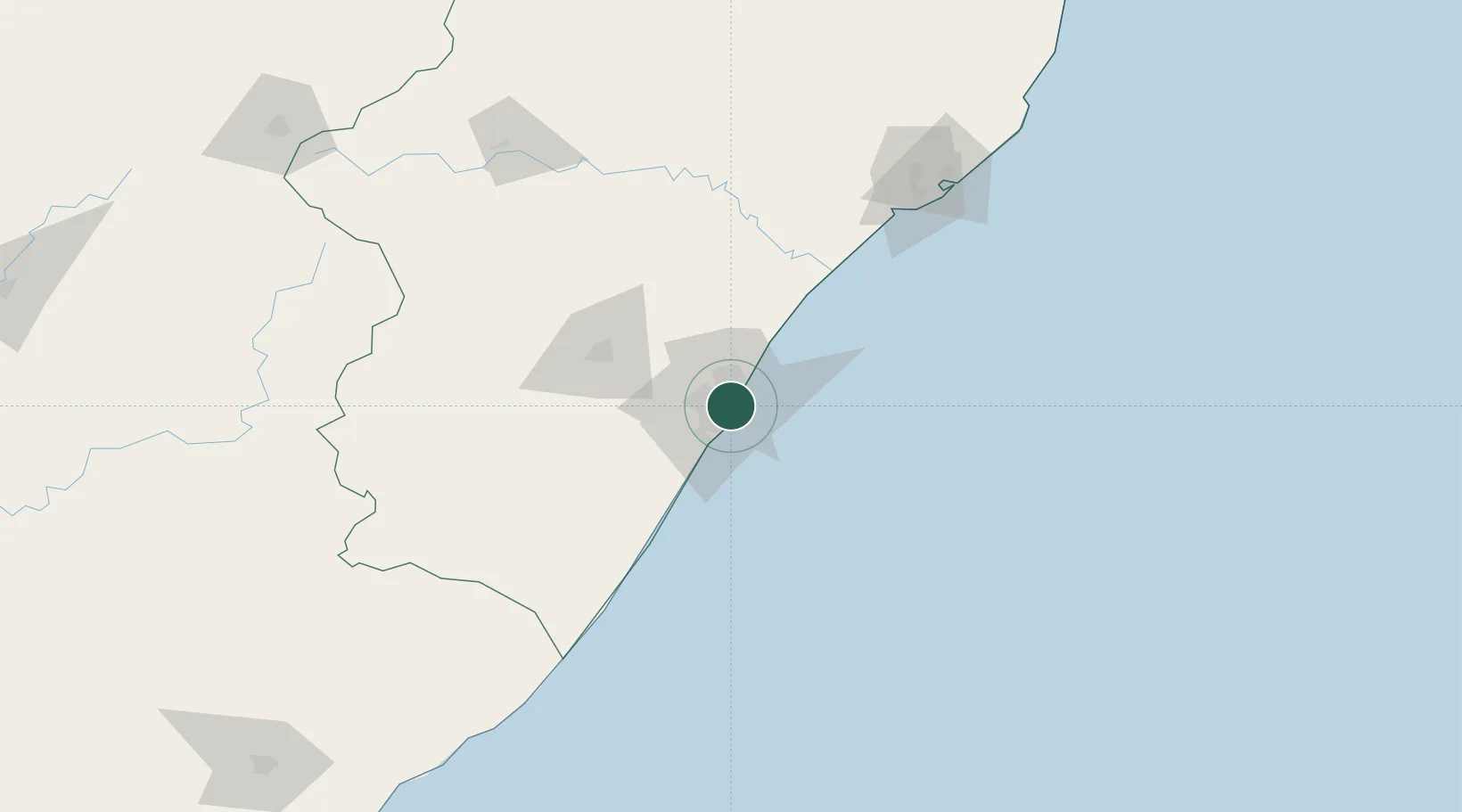
Nearby Logistics Neighbours

Cities
  1. 1Glenwood2 km
  2. 2Bayhead3 km
  3. 3Island View4 km
  4. 4Umbilo4 km
  5. 5Durban5 km
Nearest neighbours — logibook spatial index (haversine) over the source coordinates
Ports
  1. 1Durban6 km
  2. 2Richards Bay159 km
  3. 3East London458 km
  4. 4Maputo460 km
  5. 5Port Elizabeth680 km
Nearest neighbours — logibook spatial index (haversine) over the source coordinates
Airports
  1. 1Virginia Airport12 km
  2. 2King Shaka International Airport30 km
  3. 3Pietermaritzburg Airport63 km
  4. 4Margate Airport127 km
  5. 5Richards Bay Airport164 km
Nearest neighbours — logibook spatial index (haversine) over the source coordinates
Trade Zones
  1. 1Dube TradePort28 km
  2. 2Dube AgriZone30 km
  3. 3Dube TradeZone31 km
  4. 4Durban Aerotropolis34 km
  5. 5Isithebe Industrial Park94 km
Nearest neighbours — logibook spatial index (haversine) over the source coordinates
DatabookThe Record of Consolidated Knowledge
South Africa beyond logistics?
Browse databook

All Sources

LocationsUN/LOCODE
UN/LOCODE — free
Portsthe NGA World Port Index
Public domain (US gov)
AirportsOurAirports
Public domain
Trade Zonesthe World Bank SEZ database
CC BY 4.0
Trade ZonesOpen Zone Map
CC BY
← South Africa locations