Transport Functions
Port
Hub Profile
Place type
Urban district
Region
KwaZulu-Natal
Time zone
Africa/Johannesburg
Elevation
6 m
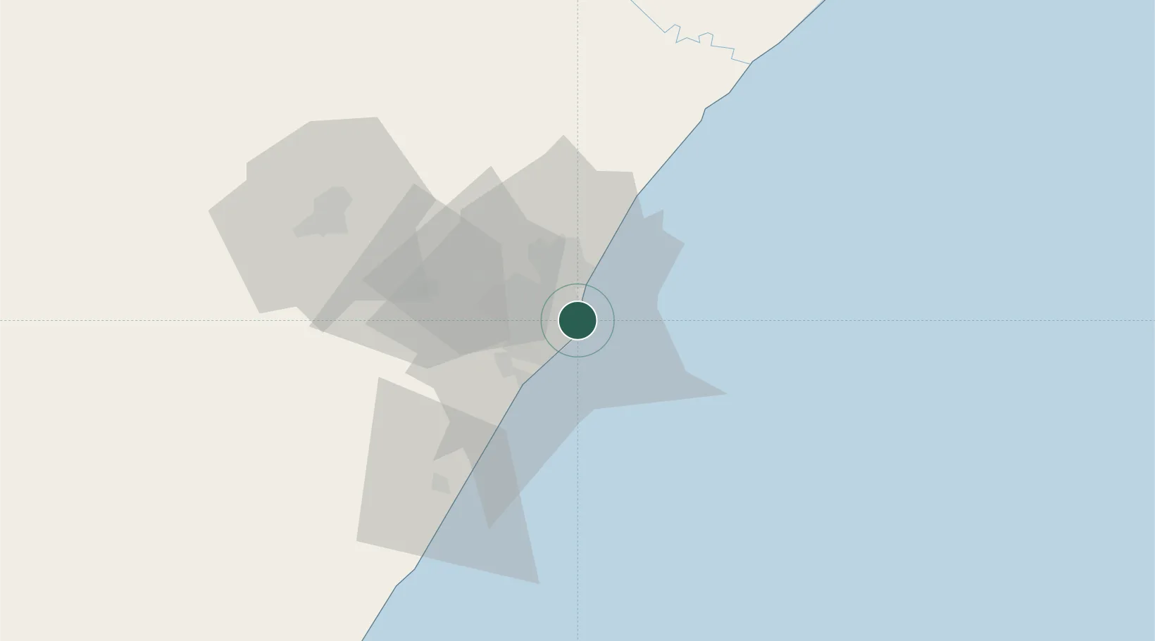
Location
Nearby Logistics Neighbours
Ports
- 1Durban4 km
- 2Richards Bay158 km
- 3East London458 km
- 4Maputo461 km
- 5Port Elizabeth681 km
Airports
- 1Virginia Airport13 km
- 2King Shaka International Airport31 km
- 3Pietermaritzburg Airport67 km
- 4Margate Airport127 km
- 5Richards Bay Airport163 km
Trade Zones
- 1Dube TradePort29 km
- 2Dube AgriZone31 km
- 3Dube TradeZone32 km
- 4Durban Aerotropolis35 km
- 5Isithebe Industrial Park95 km
DatabookThe Record of Consolidated Knowledge
South Africa beyond logistics?