Transport Functions
Rail
Road
Hub Profile
Place type
Urban district
Region
KwaZulu-Natal
Time zone
Africa/Johannesburg
Elevation
6 m
Logistics facilities
1
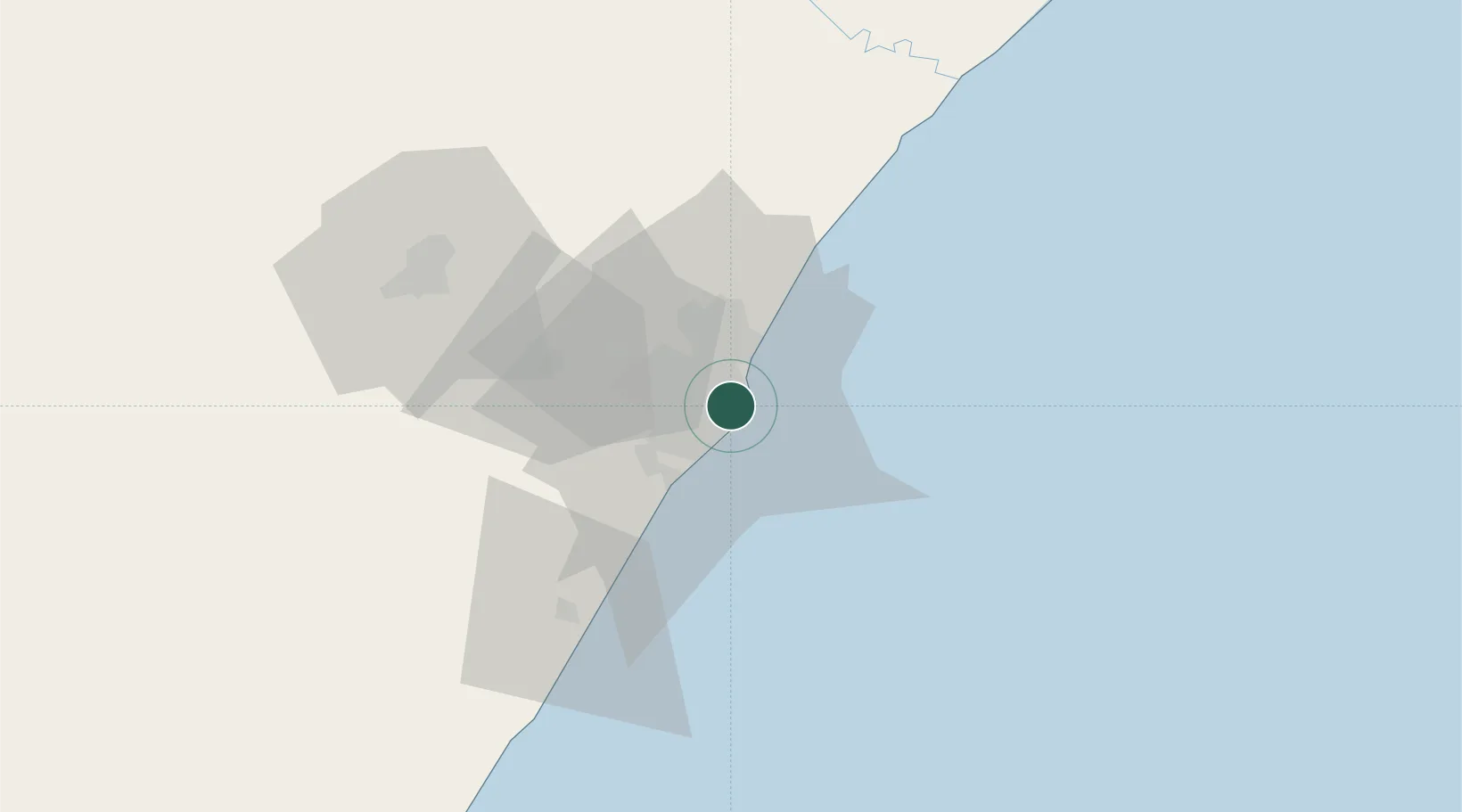
Location
Nearby Logistics Neighbours
Cities
- 1Island View2 km
- 2Congella3 km
- 3Umbilo3 km
- 4Glenwood4 km
- 5Durban4 km
Ports
- 1Durban6 km
- 2Richards Bay159 km
- 3East London457 km
- 4Maputo462 km
- 5Port Elizabeth679 km
Airports
- 1Virginia Airport14 km
- 2King Shaka International Airport32 km
- 3Pietermaritzburg Airport65 km
- 4Margate Airport126 km
- 5Richards Bay Airport165 km
Trade Zones
- 1Dube TradePort30 km
- 2Dube AgriZone32 km
- 3Dube TradeZone33 km
- 4Durban Aerotropolis36 km
- 5Isithebe Industrial Park96 km
DatabookThe Record of Consolidated Knowledge
South Africa beyond logistics?