Channel & Berth Profile
Pilotage, Tugs & Services
Pilotage availableYES
Potable waterYES
Diesel bunkersYES
Facilities & Capabilities
Container—
Ro-Ro—
Liquid bulk—
Dry bulk—
Oil terminal—
Break bulk—
Dry dock—
Repairs—
Bunkering—
Rail link—
Dangerous cargo—
ISPS security—
Harbour Specifications
Harbour size
Very Small
Harbour type
Coastal (Natural)
Shelter
Good
Water body
Alaska-Canada coastal waters; North Pacific Ocean
Tidal range
2.4 m
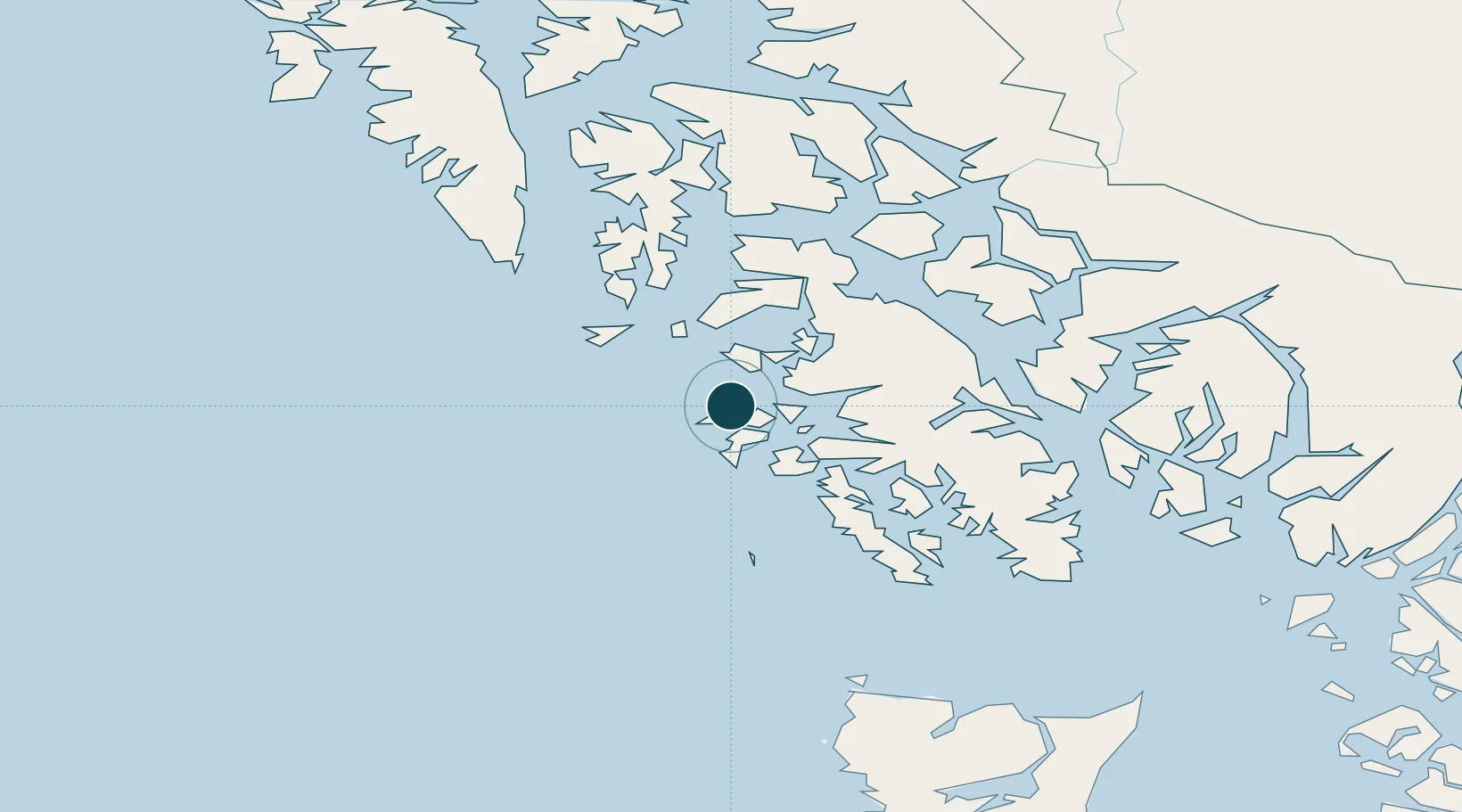
Location
Nearby Logistics Neighbours
Cities
- 1Ward Cove122 km
- 2Ketchikan125 km
- 3Neets Bay131 km
- 4Metlakatla138 km
- 5Tyee178 km
Airports
- 1Craig Seaplane Base31 km
- 2Klawock Airport35 km
- 3Naukati Bay Seaplane Base43 km
- 4Edna Bay Seaplane Base46 km
- 5Hollis Clark Bay Seaplane Base62 km
Trade Zones
- 1PrInce George Logistics Park721 km
- 2FTZ Vancouver Island997 km
- 3FTZ No. 128 Whatcom County1061 km
- 4FTZ No. 129 Bellingham1066 km
- 5FTZ No. 173 Grays Harbor1130 km
DatabookThe Record of Consolidated Knowledge
United States beyond logistics?