Channel & Berth Profile
Pilotage, Tugs & Services
Pilotage availableYES
Facilities & Capabilities
Container—
Ro-Ro—
Liquid bulk—
Dry bulk—
Oil terminal—
Break bulk—
Dry dock—
Repairs—
BunkeringYES
Rail link—
Dangerous cargo—
ISPS security—
Harbour Specifications
Harbour size
Very Small
Harbour type
Open Roadstead
Shelter
Poor
Water body
Alaska-Canada coastal waters; North Pacific Ocean
Tidal range
2.4 m
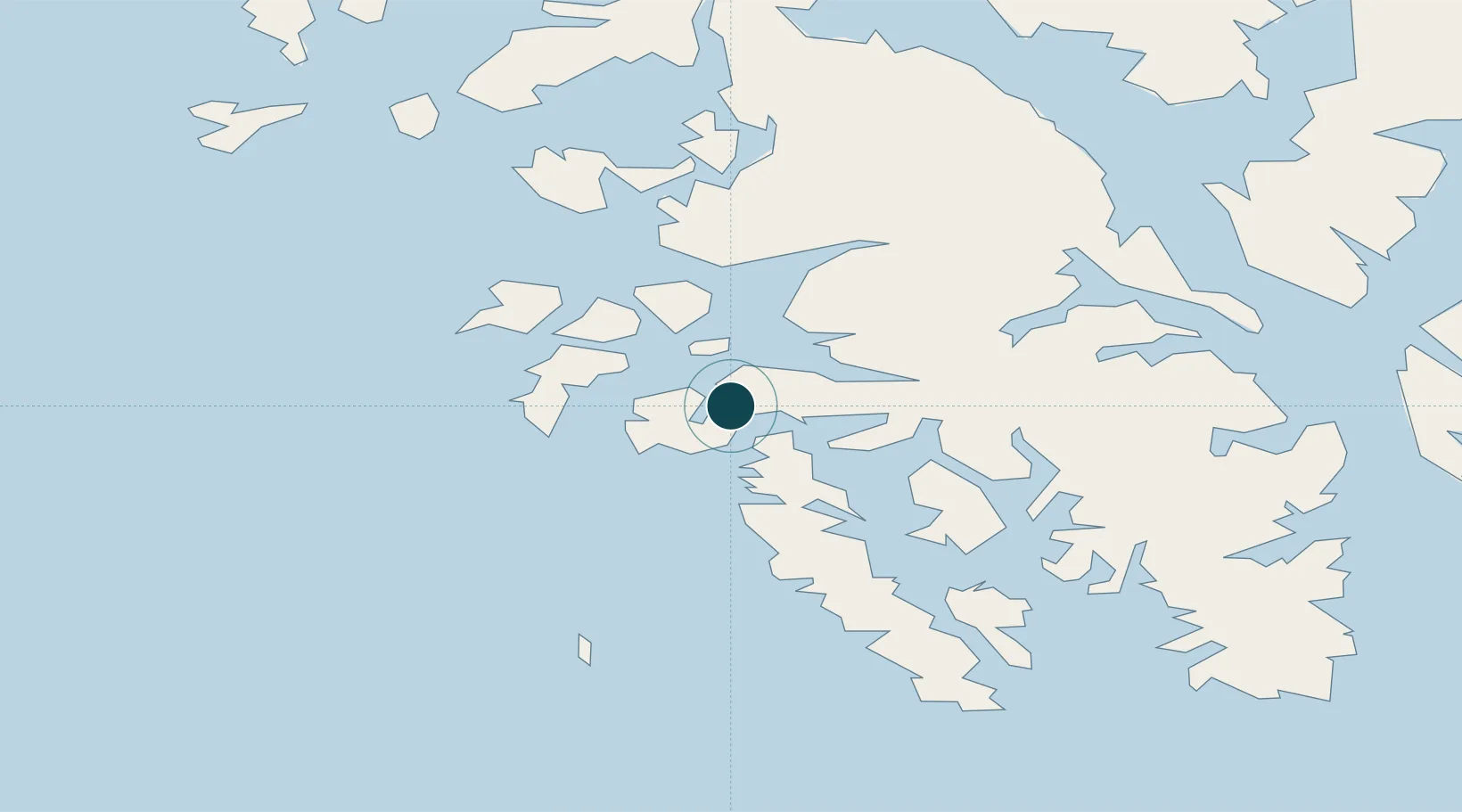
Location
Nearby Logistics Neighbours
Ports
- 1Craig19 km
- 2Hydaburg28 km
- 3Klawock29 km
- 4Steamboat Bay36 km
- 5Kasaan59 km
Cities
- 1Ward Cove97 km
- 2Ketchikan99 km
- 3Metlakatla107 km
- 4Neets Bay116 km
- 5Tyee211 km
Airports
- 1Craig Seaplane Base21 km
- 2Hydaburg Seaplane Base28 km
- 3Klawock Airport33 km
- 4Hollis Clark Bay Seaplane Base42 km
- 5Kasaan Seaplane Base59 km
Trade Zones
- 1PrInce George Logistics Park692 km
- 2FTZ Vancouver Island961 km
- 3FTZ No. 128 Whatcom County1025 km
- 4FTZ No. 129 Bellingham1030 km
- 5FTZ No. 173 Grays Harbor1094 km
DatabookThe Record of Consolidated Knowledge
United States beyond logistics?