Medium airport · United States
Klawock AirportPAKW
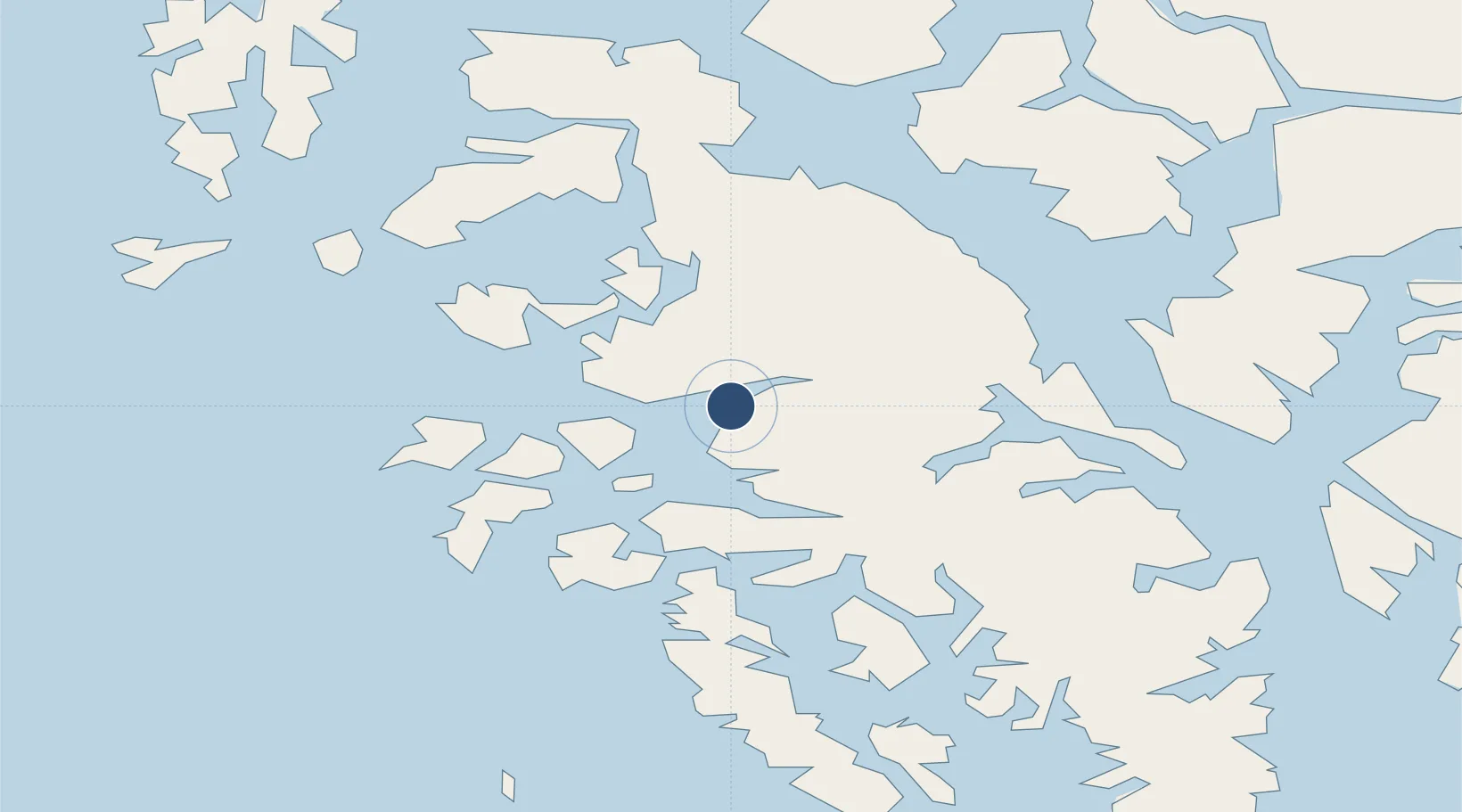
55.5792°, -133.0760°
5,000 ft
Longest runway
1
Runways
80 ft
Elevation
Runway & Layout

Radio Frequencies
ASOS
135.45 MHz
CTAF
120.9 MHz
CNTR
118.5 MHz
ANCHORAGE CNTR
FSS
122.25 MHz
KETCHIKAN RDO
Navaids
AKW NDB-DME Klawock 0.23 MHz
Runways · 1
| Runway | Dimensions | Surface | True heading | Lit |
|---|---|---|---|---|
| 02/20 | 5,000 × 100ft | Asphalt | 035° | ✓ |
Airport Specifications
IATA code
KLW
ICAO code
PAKW
Airport class
Medium airport
Scheduled service
Yes
Runway surface
Asphalt
Served city
Klawock
Location
Nearby Logistics Neighbours
Airports
- 1Craig Seaplane Base12 km
- 2Hollis Clark Bay Seaplane Base29 km
- 3Naukati Bay Seaplane Base32 km
- 4Thorne Bay Seaplane Base36 km
- 5Kasaan Seaplane Base43 km
Cities
- 1Ward Cove88 km
- 2Ketchikan92 km
- 3Neets Bay95 km
- 4Metlakatla108 km
- 5Tyee187 km
Ports
- 1Klawock4 km
- 2Craig13 km
- 3Waterfall33 km
- 4Steamboat Bay35 km
- 5Kasaan43 km
Trade Zones
- 1PrInce George Logistics Park687 km
- 2FTZ Vancouver Island974 km
- 3FTZ No. 128 Whatcom County1038 km
- 4FTZ No. 129 Bellingham1043 km
- 5FTZ No. 173 Grays Harbor1113 km
DatabookThe Record of Consolidated Knowledge
United States beyond logistics?