Seaplane base · United States
Hollis Clark Bay Seaplane BaseHYL
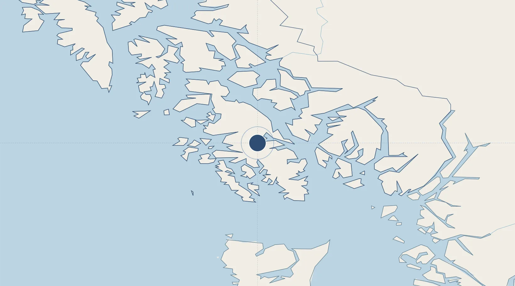
55.4815°, -132.6460°
10,000 ft
Longest runway
2
Runways
Runway & Layout
Runways · 2
| Runway | Dimensions | Surface | True heading | Lit |
|---|---|---|---|---|
| E/W | 10,000 × 500ft | Water | — | — |
| NW/SE | 6,000 × 500ft | Water | — | — |
Airport Specifications
IATA code
HYL
Airport class
Seaplane base
Scheduled service
Yes
Runway surface
Water
Served city
Hollis
Location
Nearby Logistics Neighbours
Airports
- 1Kasaan Seaplane Base17 km
- 2Thorne Bay Seaplane Base24 km
- 3Klawock Airport29 km
- 4Craig Seaplane Base32 km
- 5Hydaburg Seaplane Base33 km
Cities
- 1Ward Cove59 km
- 2Ketchikan63 km
- 3Neets Bay74 km
- 4Metlakatla79 km
- 5Prince Rupert198 km
Trade Zones
- 1PrInce George Logistics Park659 km
- 2FTZ Vancouver Island947 km
- 3FTZ No. 128 Whatcom County1010 km
- 4FTZ No. 129 Bellingham1016 km
- 5FTZ No. 173 Grays Harbor1088 km
DatabookThe Record of Consolidated Knowledge
United States beyond logistics?