Seaplane base · United States
Craig Seaplane BaseCGA
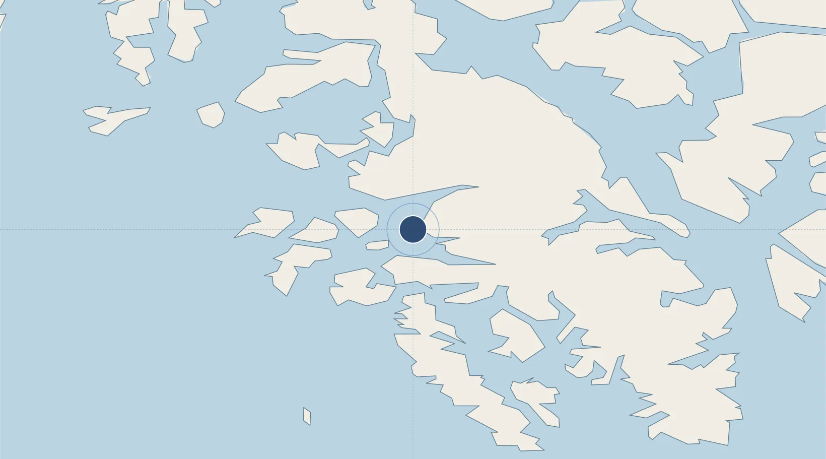
55.4788°, -133.1480°
10,000 ft
Longest runway
1
Runways
Runway & Layout

Runways · 1
| Runway | Dimensions | Surface | True heading | Lit |
|---|---|---|---|---|
| N/S | 10,000 × 2000ft | Water | — | — |
Airport Specifications
IATA code
CGA
ICAO code
CGA
Airport class
Seaplane base
Scheduled service
Yes
Runway surface
Water
Served city
Craig
Location
Nearby Logistics Neighbours
Airports
- 1Klawock Airport12 km
- 2Hollis Clark Bay Seaplane Base32 km
- 3Hydaburg Seaplane Base37 km
- 4Naukati Bay Seaplane Base42 km
- 5Thorne Bay Seaplane Base45 km
Cities
- 1Ward Cove91 km
- 2Ketchikan94 km
- 3Neets Bay103 km
- 4Metlakatla107 km
- 5Tyee195 km
Ports
- 1Craig1 km
- 2Klawock9 km
- 3Waterfall21 km
- 4Steamboat Bay31 km
- 5Hydaburg37 km
Trade Zones
- 1PrInce George Logistics Park690 km
- 2FTZ Vancouver Island970 km
- 3FTZ No. 128 Whatcom County1033 km
- 4FTZ No. 129 Bellingham1039 km
- 5FTZ No. 173 Grays Harbor1107 km
DatabookThe Record of Consolidated Knowledge
United States beyond logistics?