Seaplane base · United States
Naukati Bay Seaplane BaseAK62
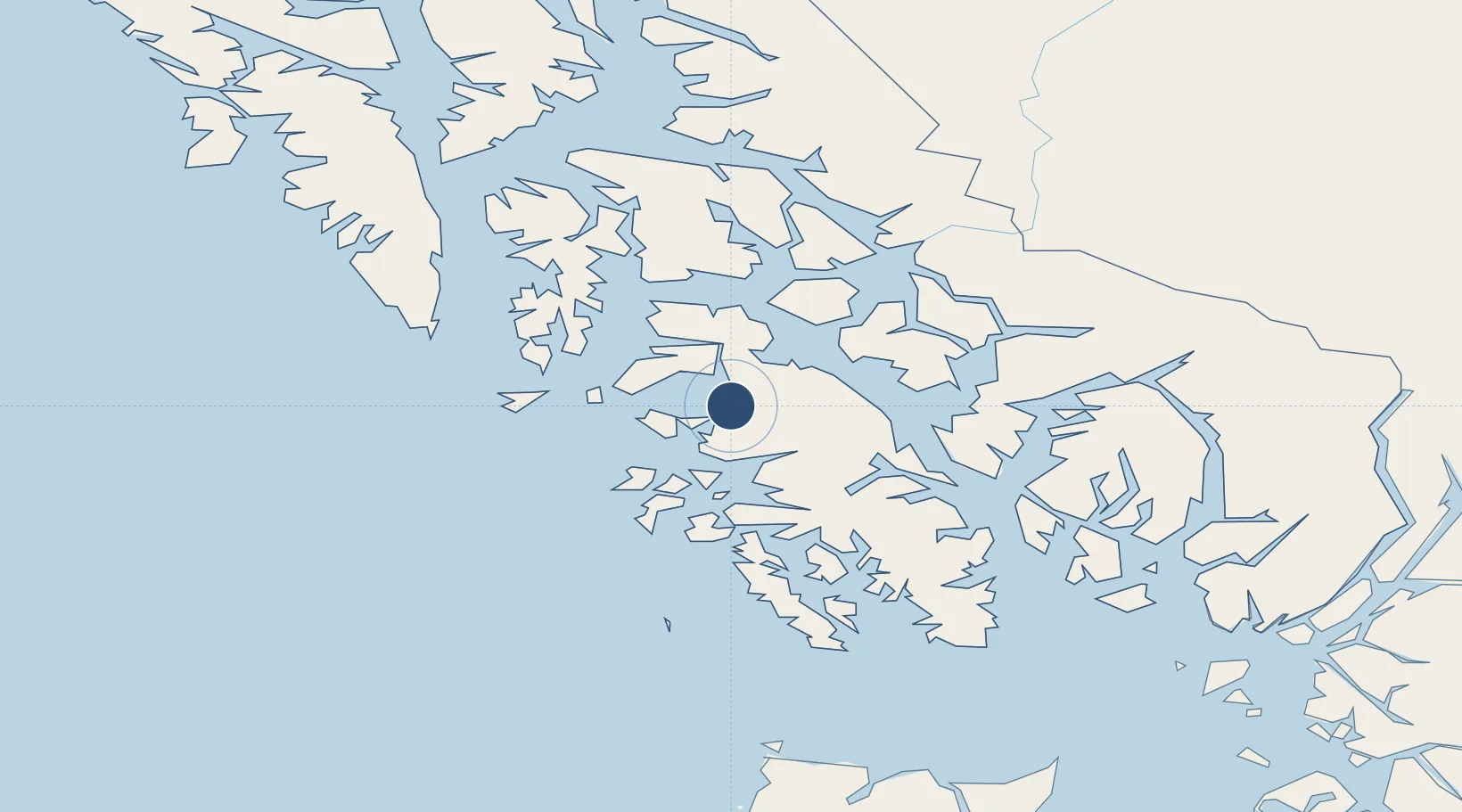
55.8496°, -133.2280°
10,000 ft
Longest runway
2
Runways
Runway & Layout
Runways · 2
| Runway | Dimensions | Surface | True heading | Lit |
|---|---|---|---|---|
| N/S | 10,000 × 1000ft | Water | — | — |
| NE/SW | 10,000 × 300ft | Water | — | — |
Airport Specifications
IATA code
NKI
ICAO code
AK62
Airport class
Seaplane base
Scheduled service
Yes
Runway surface
Water
Served city
Tuxekan Island
Location
Nearby Logistics Neighbours
Airports
Cities
- 1Neets Bay102 km
- 2Ward Cove107 km
- 3Ketchikan112 km
- 4Metlakatla132 km
- 5Tyee156 km
Ports
- 1Klawock34 km
- 2Craig43 km
- 3Steamboat Bay43 km
- 4Waterfall61 km
- 5Kasaan63 km
Trade Zones
- 1PrInce George Logistics Park703 km
- 2FTZ Vancouver Island1001 km
- 3FTZ No. 128 Whatcom County1065 km
- 4FTZ No. 129 Bellingham1071 km
- 5FTZ No. 173 Grays Harbor1143 km
DatabookThe Record of Consolidated Knowledge
United States beyond logistics?