Channel & Berth Profile
Pilotage, Tugs & Services
Shore powerYES
Potable waterYES
Diesel bunkersYES
MedicalNO
Garbage disposalNO
Facilities & Capabilities
Container—
Ro-Ro—
Liquid bulk—
Dry bulk—
Oil terminal—
Break bulk—
Dry dock—
RepairsNO
BunkeringYES
Rail link—
Dangerous cargo—
ISPS security—
Harbour Specifications
Harbour size
Very Small
Harbour type
Coastal (Natural)
Shelter
Good
Water body
Alaska-Canada coastal waters; North Pacific Ocean
Tidal range
2.4 m
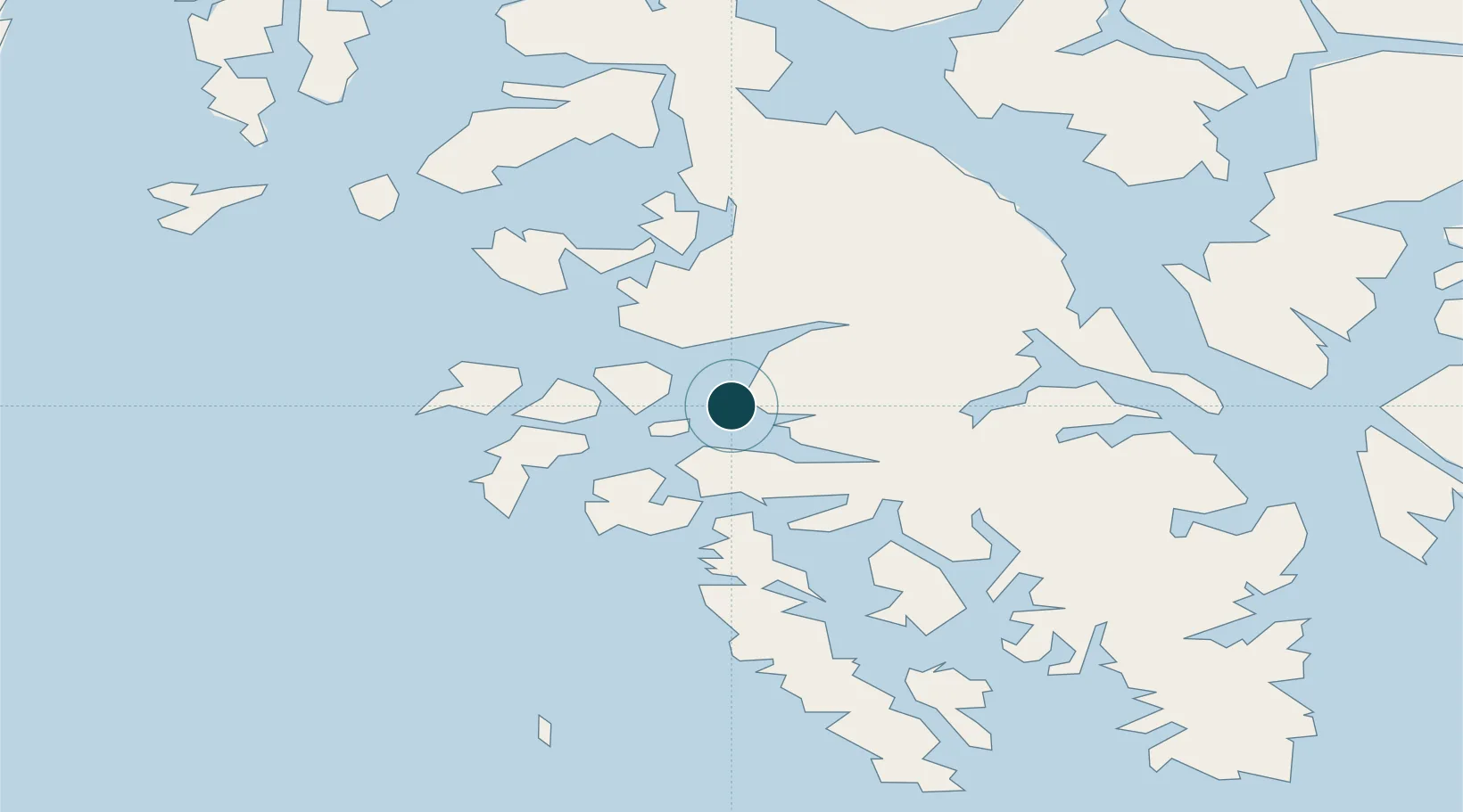
Location
Nearby Logistics Neighbours
Ports
- 1Klawock10 km
- 2Waterfall19 km
- 3Steamboat Bay31 km
- 4Hydaburg36 km
- 5Kasaan48 km
Cities
- 1Ward Cove91 km
- 2Ketchikan94 km
- 3Neets Bay104 km
- 4Metlakatla107 km
- 5Tyee196 km
Airports
- 1Craig Seaplane Base1 km
- 2Klawock Airport13 km
- 3Hollis Clark Bay Seaplane Base32 km
- 4Hydaburg Seaplane Base35 km
- 5Naukati Bay Seaplane Base43 km
Trade Zones
- 1PrInce George Logistics Park690 km
- 2FTZ Vancouver Island969 km
- 3FTZ No. 128 Whatcom County1033 km
- 4FTZ No. 129 Bellingham1039 km
- 5FTZ No. 173 Grays Harbor1106 km
DatabookThe Record of Consolidated Knowledge
United States beyond logistics?