Seaplane base · United States

Whale Pass Seaplane Float Harbor Facility96Z

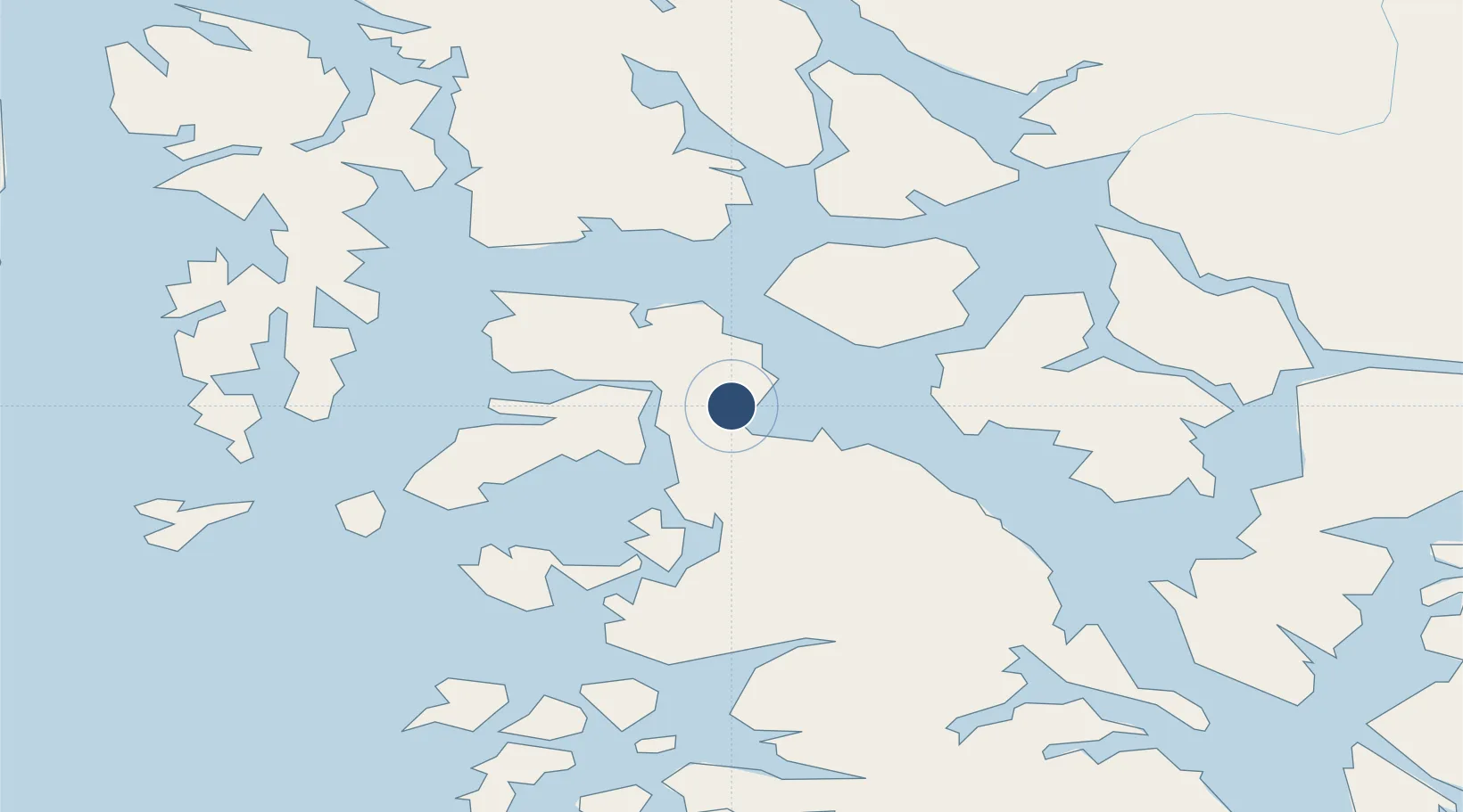
56.1163°, -133.1220°
10,000 ft
Longest runway
1
Runways

Runway & Layout

Runways · 1

RunwayDimensions SurfaceTrue headingLit
NW/SE 10,000 × 1000ft Water
OurAirports

Airport Specifications

IATA code
WWP
OurAirports
Airport class
Seaplane base
OurAirports
Scheduled service
Yes
OurAirports
Runway surface
Water
OurAirports
Served city
Whale Pass
OurAirports

Location

Location of 96Z
Natural Earth 10m (public domain) · British Columbia · 96Z · 56.12, -133.12GoogleOSMYandex

Nearby Logistics Neighbours

Airports
  1. 1Coffman Cove Seaplane Base21 km
  2. 2Naukati Bay Seaplane Base30 km
  3. 3Edna Bay Seaplane Base38 km
  4. 4Port Protection Seaplane Base38 km
  5. 5Point Baker Seaplane Base41 km
Nearest neighbours — logibook spatial index (haversine) over the source coordinates
Cities
  1. 1Neets Bay102 km
  2. 2Ward Cove119 km
  3. 3Ketchikan124 km
  4. 4Tyee136 km
  5. 5Metlakatla147 km
Nearest neighbours — logibook spatial index (haversine) over the source coordinates
Ports
  1. 1Wrangell60 km
  2. 2Klawock63 km
  3. 3Craig72 km
  4. 4Steamboat Bay72 km
  5. 5Petersburg79 km
Nearest neighbours — logibook spatial index (haversine) over the source coordinates
Trade Zones
  1. 1PrInce George Logistics Park704 km
  2. 2FTZ No. 108 Valdez945 km
  3. 3FTZ Vancouver Island1017 km
  4. 4FTZ No. 128 Whatcom County1080 km
  5. 5FTZ No. 129 Bellingham1087 km
Nearest neighbours — logibook spatial index (haversine) over the source coordinates
DatabookThe Record of Consolidated Knowledge
United States beyond logistics?
Browse databook

All Sources

AirportsOurAirports
Public domain
Portsthe NGA World Port Index
Public domain (US gov)
LocationsUN/LOCODE
UN/LOCODE — free
Trade Zonesthe World Bank SEZ database
CC BY 4.0
Trade ZonesOpen Zone Map
CC BY
← United States airports