Seaplane base · United States
Thorne Bay Seaplane BaseKTB
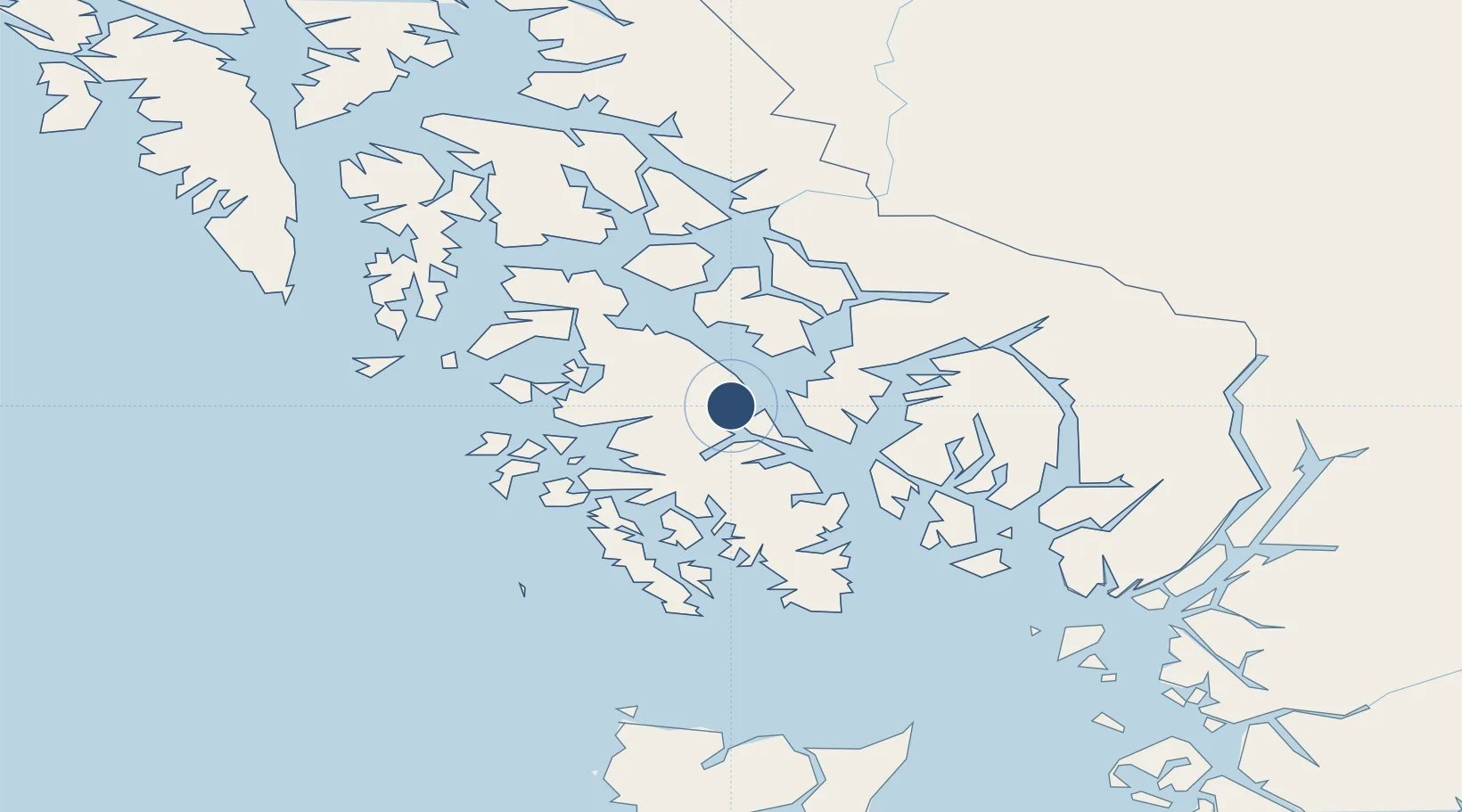
55.6828°, -132.5329°
5,000 ft
Longest runway
1
Runways
Runway & Layout
Runways · 1
| Runway | Dimensions | Surface | True heading | Lit |
|---|---|---|---|---|
| NW/SE | 5,000 × 2000ft | Water | — | — |
Airport Specifications
IATA code
KTB
ICAO code
KTB
Airport class
Seaplane base
Scheduled service
Yes
Runway surface
Water
Served city
Thorne Bay
Location
Nearby Logistics Neighbours
Airports
- 1Kasaan Seaplane Base18 km
- 2Hollis Clark Bay Seaplane Base24 km
- 3Klawock Airport36 km
- 4Coffman Cove Seaplane Base41 km
- 5Craig Seaplane Base45 km
Cities
- 1Neets Bay60 km
- 2Ward Cove60 km
- 3Ketchikan65 km
- 4Metlakatla87 km
- 5Tyee196 km
Trade Zones
- 1PrInce George Logistics Park657 km
- 2FTZ Vancouver Island957 km
- 3FTZ No. 128 Whatcom County1021 km
- 4FTZ No. 129 Bellingham1027 km
- 5FTZ No. 173 Grays Harbor1103 km
DatabookThe Record of Consolidated Knowledge
United States beyond logistics?