Channel & Berth Profile
Pilotage, Tugs & Services
Pilotage availableYES
Potable waterNO
Facilities & Capabilities
Container—
Ro-Ro—
Liquid bulk—
Dry bulk—
Oil terminal—
Break bulk—
Dry dock—
Repairs—
Bunkering—
Rail link—
Dangerous cargo—
ISPS security—
Harbour Specifications
Harbour size
Very Small
Harbour type
Coastal (Natural)
Shelter
Poor
Water body
Alaska-Canada coastal waters; North Pacific Ocean
Tidal range
4.9 m
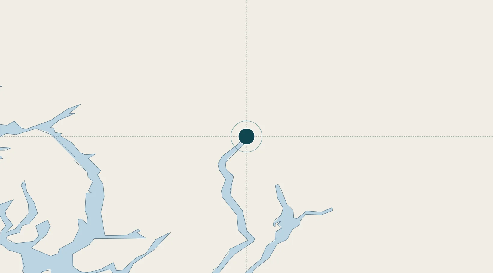
Location
Nearby Logistics Neighbours
Ports
- 1Stewart2 km
- 2Loring108 km
- 3Ketchikan122 km
- 4Ward Cove123 km
- 5Metlakatla132 km
Cities
- 1Neets Bay101 km
- 2Ward Cove122 km
- 3Ketchikan123 km
- 4Metlakatla132 km
- 5Prince Rupert183 km
Airports
- 1Hyder Seaplane Base2 km
- 2Stewart Airport2 km
- 3Ketchikan Harbor Seaplane Base123 km
- 4Ketchikan International Airport124 km
- 5Metlakatla Seaplane Base132 km
Trade Zones
- 1PrInce George Logistics Park514 km
- 2FTZ Vancouver Island875 km
- 3FTZ No. 128 Whatcom County937 km
- 4FTZ No. 129 Bellingham943 km
- 5FTZ No. 085 Everett1028 km
DatabookThe Record of Consolidated Knowledge
United States beyond logistics?