Transport Functions
Rail
Road
Multimodal
Hub Profile
Place type
Provincial seat
Region
Florida
Population
2,828
Time zone
America/New_York
Elevation
6 m
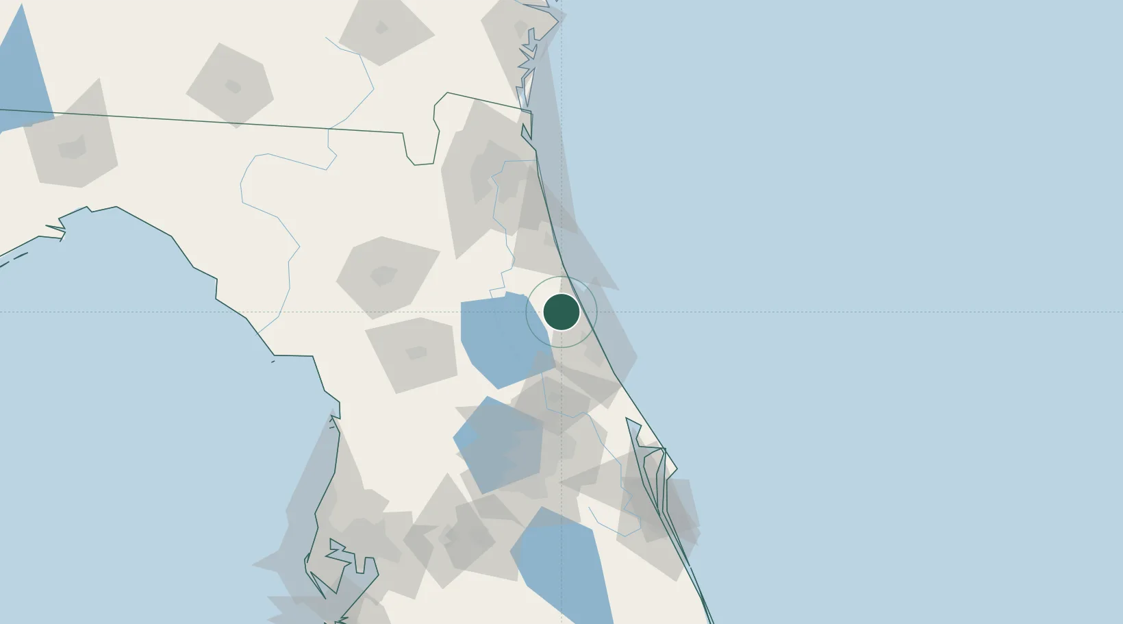
Location
Nearby Logistics Neighbours
Cities
- 1Flagler Beach13 km
- 2Elkton41 km
- 3Port Orange44 km
- 4Cutler Ridge48 km
- 5New Smyrna Beach56 km
Ports
- 1St Augustine51 km
- 2Canaveral Harbor104 km
- 3Jacksonville104 km
- 4Mayport107 km
- 5Fernandina Beach139 km
Airports
Trade Zones
- 1FTZ No. 198 Volusia County52 km
- 2FTZ No. 250 Seminole County79 km
- 3FTZ No. 042 Orlando111 km
- 4FTZ No. 064 Jacksonville121 km
- 5FTZ No. 136 Brevard County127 km
DatabookThe Record of Consolidated Knowledge
United States beyond logistics?