Medium airport · United States
Northeast Florida Regional AirportKSGJ
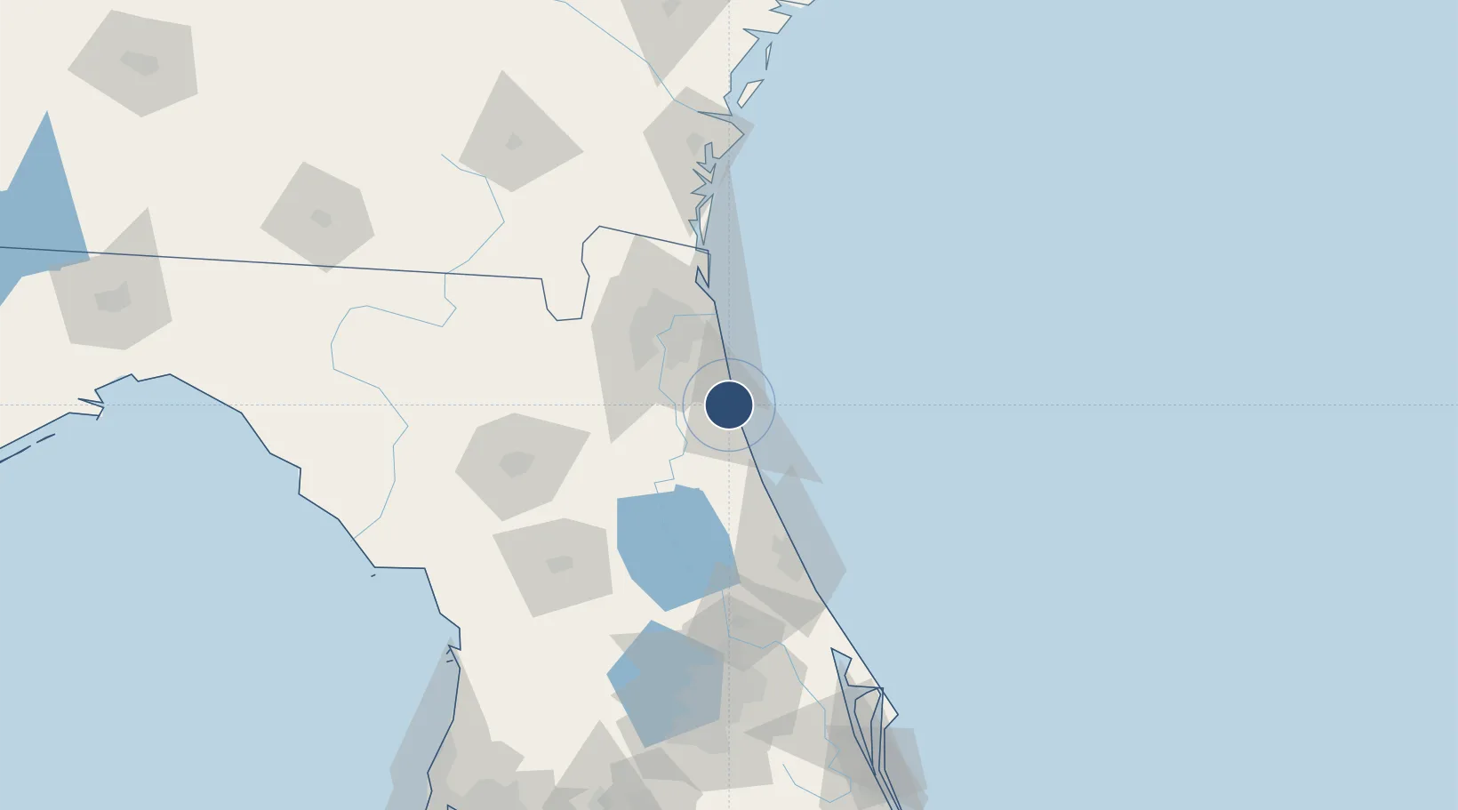
29.9592°, -81.3398°
12,000 ft
Longest runway
6
Runways
10 ft
Elevation
Runway & Layout

Radio Frequencies
ATIS
119.625 MHz
TWR
127.625 MHz
GND
121.175 MHz
CTAF
127.625 MHz
A/D
120.75 MHz
JACKSONVILLE APP/DEP
RDO
122.3 MHz
GAINESVILLE RDO
UNIC
122.95 MHz
UNICOM
Runways · 6
| Runway | Dimensions | Surface | True heading | Lit |
|---|---|---|---|---|
| 17W/35W | 12,000 × 1000ft | Water | — | — |
| 18W/36W | 12,000 × 500ft | Water | — | — |
| 13/31 | 8,001 × 150ft | Asphalt | 126° | ✓ |
| 12W/30W | 5,000 × 1000ft | Water | — | — |
| 06/24 | 2,701 × 60ft | Asphalt | 062° | ✓ |
| 02/20 | 2,609 × 75ft | Asphalt | 021° | ✓ |
Airport Specifications
IATA code
UST
ICAO code
KSGJ
Airport class
Medium airport
Scheduled service
Yes
Runway surface
Water
Served city
St Augustine
Location
Nearby Logistics Neighbours
Airports
Cities
- 1Elkton22 km
- 2Saint Johns27 km
- 3Fleming Island39 km
- 4Blount Island52 km
- 5Jacksonville55 km
Ports
- 1St Augustine7 km
- 2Jacksonville50 km
- 3Mayport50 km
- 4Fernandina Beach81 km
- 5Brunswick133 km
Trade Zones
- 1FTZ No. 064 Jacksonville74 km
- 2FTZ No. 198 Volusia County105 km
- 3FTZ No. 144 Brunswick134 km
- 4FTZ No. 250 Seminole County135 km
- 5FTZ No. 042 Orlando165 km
DatabookThe Record of Consolidated Knowledge
United States beyond logistics?