Transport Functions
Rail
Road
Multimodal
Hub Profile
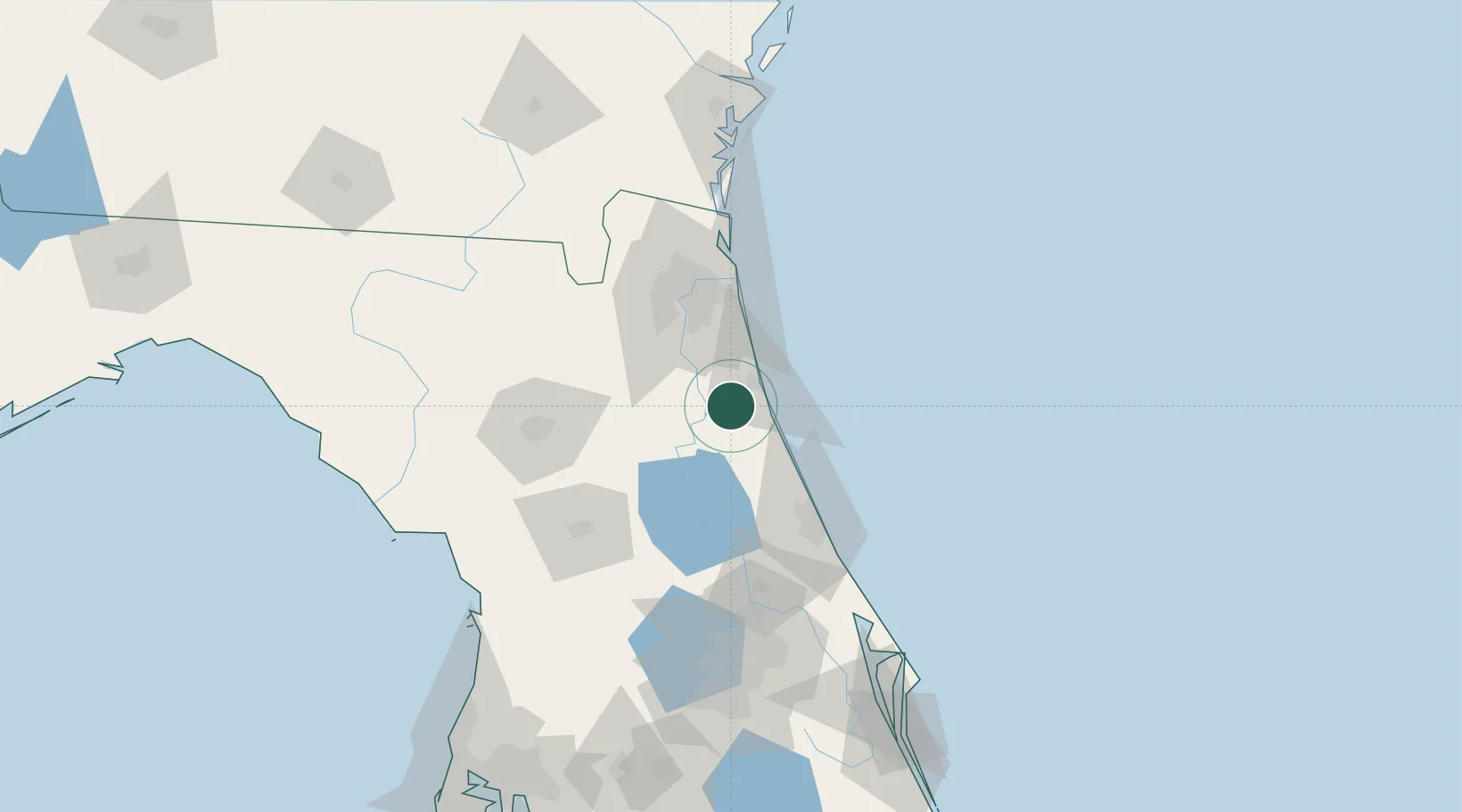
Place type
Populated place
Region
Florida
Time zone
America/New_York
Elevation
10 m
Location
Nearby Logistics Neighbours
Cities
- 1Saint Johns36 km
- 2Hollister40 km
- 3Bunnell41 km
- 4Fleming Island43 km
- 5Flagler Beach47 km
Ports
- 1St Augustine17 km
- 2Jacksonville63 km
- 3Mayport69 km
- 4Fernandina Beach100 km
- 5Canaveral Harbor144 km
Airports
Trade Zones
- 1FTZ No. 064 Jacksonville81 km
- 2FTZ No. 198 Volusia County85 km
- 3FTZ No. 250 Seminole County116 km
- 4FTZ No. 042 Orlando145 km
- 5FTZ No. 144 Brunswick153 km
DatabookThe Record of Consolidated Knowledge
United States beyond logistics?