UN/LOCODE hub · United States
USFBF
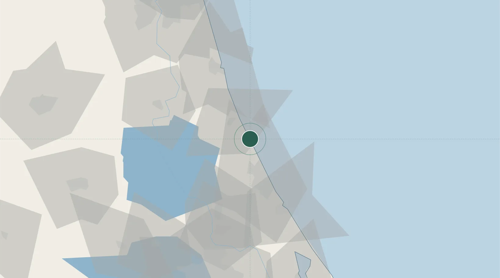
Flagler Beach
29.4667°, -81.1167°
4,869
Population
2
Transport functions
Transport Functions
Port
Road
Hub Profile
Place type
Populated place
Region
Florida
Population
4,869
Time zone
America/New_York
Elevation
3 m
Location
Nearby Logistics Neighbours
Cities
- 1Bunnell13 km
- 2Port Orange39 km
- 3Elkton47 km
- 4New Smyrna Beach51 km
- 5Cutler Ridge53 km
Ports
- 1St Augustine52 km
- 2Canaveral Harbor98 km
- 3Jacksonville108 km
- 4Mayport108 km
- 5Fernandina Beach139 km
Airports
Trade Zones
- 1FTZ No. 198 Volusia County59 km
- 2FTZ No. 250 Seminole County84 km
- 3FTZ No. 042 Orlando116 km
- 4FTZ No. 064 Jacksonville127 km
- 5FTZ No. 136 Brevard County130 km
DatabookThe Record of Consolidated Knowledge
United States beyond logistics?