Foreign Trade Zone · United States

FTZ No. 152 Burns Harbor Active
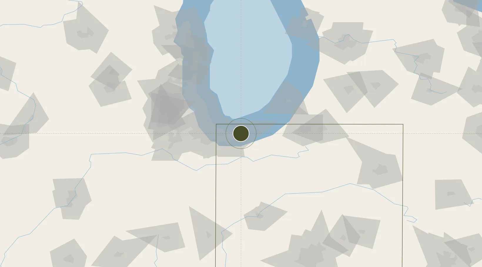
41.6230°, -87.1600°
14.4 km
Nearest port
21.1 km
Nearest airport

Gateway access

Nearest neighbours — logibook spatial index (haversine) over the source coordinates

Zone profile

Zone type
Foreign Trade Zone
Open Zone Map
Region
Indiana
Open Zone Map
Status
Active
Open Zone Map
Management
Public
Open Zone Map
Operator
Ports of Indiana
Open Zone Map
Legal framework
Foreign-Trade Zones Act
Open Zone Map

Location

Location of ozm-4745
Natural Earth 10m (public domain) · Indiana · ozm-4745 · 41.62, -87.16GoogleOSMYandex

Nearby Logistics Neighbours

Ports
  1. 1Gary14 km
  2. 2Indiana Harbor23 km
  3. 3Michigan City25 km
  4. 4Calumet Harbor32 km
  5. 5Chicago47 km
Nearest neighbours — logibook spatial index (haversine) over the source coordinates
Airports
  1. 1Gary/Chicago International Airport21 km
  2. 2Porter County Municipal Airport23 km
  3. 3Michigan City Municipal Airport30 km
  4. 4Chicago Midway International Airport52 km
  5. 5South Bend International Airport71 km
Nearest neighbours — logibook spatial index (haversine) over the source coordinates
Cities
  1. 1Burns Harbor2 km
  2. 2Portage6 km
  3. 3Lake Station8 km
  4. 4Chesterton9 km
  5. 5Saint John32 km
Nearest neighbours — logibook spatial index (haversine) over the source coordinates
Trade Zones
  1. 1FTZ No. 022 Chicago64 km
  2. 2FTZ No. 125 South Bend68 km
  3. 3FTZ No. 292 Lake County98 km
  4. 4FTZ No. 182 Fort Wayne167 km
  5. 5FTZ No. 043 Battle Creek175 km
Nearest neighbours — logibook spatial index (haversine) over the source coordinates
DatabookThe Record of Consolidated Knowledge
United States beyond logistics?
Browse databook

All Sources

Trade ZonesOpen Zone Map
CC BY
Portsthe NGA World Port Index
Public domain (US gov)
AirportsOurAirports
Public domain
LocationsUN/LOCODE
UN/LOCODE — free
← United States trade zones