Large airport · United States
Chicago Midway International AirportKMDW
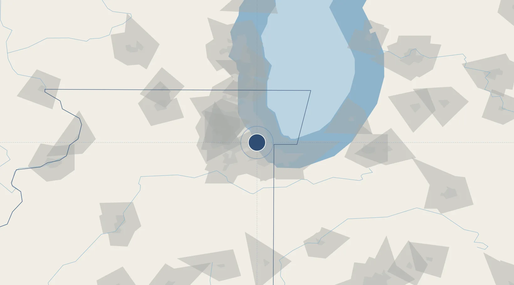
41.7860°, -87.7524°
6,522 ft
Longest runway
4
Runways
620 ft
Elevation
Runway & Layout

Radio Frequencies
ATIS
132.75 MHz
ASOS
132.75 MHz
TWR
118.7 MHz
GND
121.65 MHz
CLD
121.85 MHz
CLNC DEL
A/D
118.4 MHz
APP/DEP
UNIC
122.95 MHz
UNICOM
Navaids
HK NDB Ermin 332 kHz
MX NDB Kedzi 248 kHz
Runways · 4
| Runway | Dimensions | Surface | True heading | Lit |
|---|---|---|---|---|
| 13L/31R | 6,522 × 150ft | Concrete | 134° | ✓ |
| 04R/22L | 6,445 × 150ft | Asphalt / concrete | 043° | ✓ |
| 04L/22R | 5,507 × 150ft | Asphalt | 043° | ✓ |
| 13R/31L | 3,859 × 60ft | Concrete | 134° | ✓ |
Airport Specifications
IATA code
MDW
ICAO code
KMDW
Airport class
Large airport
Scheduled service
Yes
Runway surface
Concrete
Served city
Chicago
Location
Nearby Logistics Neighbours
Airports
Cities
- 1Summit4 km
- 2Stickney5 km
- 3Chicago6 km
- 4Justice7 km
- 5Hickory Hills, Cook8 km
Ports
- 1Chicago17 km
- 2Calumet Harbor20 km
- 3Indiana Harbor30 km
- 4Wilmette34 km
- 5Gary40 km
Trade Zones
- 1FTZ No. 022 Chicago11 km
- 2FTZ No. 152 Burns Harbor52 km
- 3FTZ No. 292 Lake County61 km
- 4FTZ No. 125 South Bend117 km
- 5FTZ No. 176 Rockford131 km
DatabookThe Record of Consolidated Knowledge
United States beyond logistics?