UN/LOCODE hub · United States
USZDM
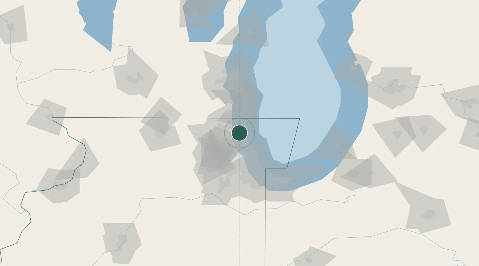
Green Oaks
42.2833°, -87.9000°
3,837
Population
1
Transport functions
Transport Functions
Multimodal
Hub Profile
Place type
Populated place
Region
Illinois
Population
3,837
Time zone
America/Chicago
Elevation
210 m
Location
Nearby Logistics Neighbours
Cities
- 1Mettawa8 km
- 2Waukegan9 km
- 3Fairfield14 km
- 4Lindenhurst15 km
- 5Kildeer17 km
Ports
- 1Great Lakes6 km
- 2Waukegan12 km
- 3Wilmette29 km
- 4Kenosha34 km
- 5Chicago51 km
Airports
Trade Zones
- 1FTZ No. 292 Lake County4 km
- 2FTZ No. 022 Chicago50 km
- 3FTZ No. 041 Milwaukee88 km
- 4FTZ No. 152 Burns Harbor96 km
- 5FTZ No. 176 Rockford108 km
DatabookThe Record of Consolidated Knowledge
United States beyond logistics?